Distance from Adra to Lepe
Distance between Adra and Lepe is 376 kilometers (233 miles).
Driving distance from Adra to Lepe is 475 kilometers (295 miles).
Distance Map Between Adra and Lepe
Adra, Sevilla, Spain ↔ Lepe, Sevilla, Spain = 233 miles = 376 km.
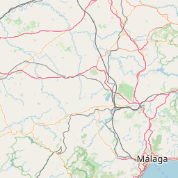
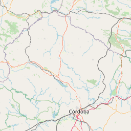
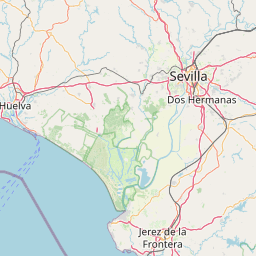


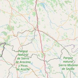


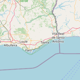

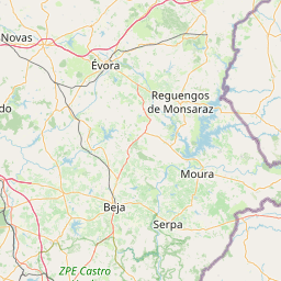
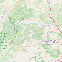


Leaflet | © OpenStreetMap
How far is it between Adra and Lepe
Adra is located in Spain with (36.7496,-3.0206) coordinates and Lepe is located in Spain with (37.2548,-7.2043) coordinates. The calculated flying distance from Adra to Lepe is equal to 233 miles which is equal to 376 km.
If you want to go by car, the driving distance between Adra and Lepe is 475.15 km. If you ride your car with an average speed of 112 kilometers/hour (70 miles/h), travel time will be 04 hours 14 minutes. Please check the avg. speed travel time table on the right for various options.
Difference between fly and go by a car is 99 km.
| City/Place | Latitude and Longitude | GPS Coordinates |
|---|---|---|
| Adra | 36.7496, -3.0206 | 36° 44´ 58.5960'' N 3° 1´ 13.9800'' W |
| Lepe | 37.2548, -7.2043 | 37° 15´ 17.3520'' N 7° 12´ 15.5880'' W |
Estimated Travel Time Between Adra and Lepe
| Average Speed | Travel Time |
|---|---|
| 30 mph (48 km/h) | 09 hours 53 minutes |
| 40 mph (64 km/h) | 07 hours 25 minutes |
| 50 mph (80 km/h) | 05 hours 56 minutes |
| 60 mph (97 km/h) | 04 hours 53 minutes |
| 70 mph (112 km/h) | 04 hours 14 minutes |
| 75 mph (120 km/h) | 03 hours 57 minutes |
Adra, Sevilla, Spain
Related Distances from Adra
| Cities | Distance |
|---|---|
| Adra to Malaga | 150 km |
| Adra to Almeria | 57 km |
| Adra to Nerja | 93 km |
| Adra to Granada | 113 km |
| Adra to Roquetas De Mar | 43 km |
Lepe, Sevilla, Spain
Related Distances to Lepe
| Cities | Distance |
|---|---|
| Almeria to Lepe | 533 km |
| Ayamonte to Lepe | 21 km |
| Huelva to Lepe | 42 km |
| Cadiz 2 to Lepe | 248 km |
| Granada to Lepe | 381 km |