Distance from Aflou to Algiers
Distance between Aflou and Algiers is 306 kilometers (190 miles).
Driving distance from Aflou to Algiers is 411 kilometers (255 miles).
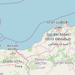
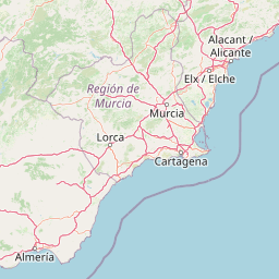
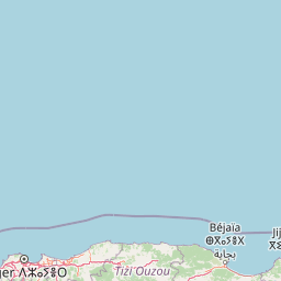
Distance Map Between Aflou and Algiers
Aflou, Laghouat, Algeria ↔ Algiers, Algeria = 190 miles = 306 km.


How far is it between Aflou and Algiers
Aflou is located in Algeria with (34.1128,2.1023) coordinates and Algiers is located in Algeria with (36.7525,3.042) coordinates. The calculated flying distance from Aflou to Algiers is equal to 190 miles which is equal to 306 km.
If you want to go by car, the driving distance between Aflou and Algiers is 410.76 km. If you ride your car with an average speed of 112 kilometers/hour (70 miles/h), travel time will be 03 hours 40 minutes. Please check the avg. speed travel time table on the right for various options.
Difference between fly and go by a car is 105 km.
| City/Place | Latitude and Longitude | GPS Coordinates |
|---|---|---|
| Aflou | 34.1128, 2.1023 | 34° 6´ 46.0440'' N 2° 6´ 8.2080'' E |
| Algiers | 36.7525, 3.042 | 36° 45´ 9.0000'' N 3° 2´ 31.0920'' E |
Estimated Travel Time Between Aflou and Algiers
| Average Speed | Travel Time |
|---|---|
| 30 mph (48 km/h) | 08 hours 33 minutes |
| 40 mph (64 km/h) | 06 hours 25 minutes |
| 50 mph (80 km/h) | 05 hours 08 minutes |
| 60 mph (97 km/h) | 04 hours 14 minutes |
| 70 mph (112 km/h) | 03 hours 40 minutes |
| 75 mph (120 km/h) | 03 hours 25 minutes |
Related Distances from Aflou
| Cities | Distance |
|---|---|
| Aflou to Tiaret | 168 km |
| Aflou to El Bayadh | 132 km |
| Aflou to Djelfa | 171 km |
| Aflou to Laghouat | 110 km |
| Aflou to Setif | 461 km |
Related Distances to Algiers
| Cities | Distance |
|---|---|
| Adrar to Algiers | 1407 km |
| Ain Sefra to Algiers | 713 km |
| Ain Defla to Algiers | 148 km |
| Ain Temouchent to Algiers | 484 km |
| Aflou to Algiers | 411 km |