Distance from `Afrin to Tadif
Distance between `Afrin and Tadif is 62 kilometers (38 miles).
Driving distance from `Afrin to Tadif is 101 kilometers (63 miles).
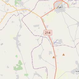
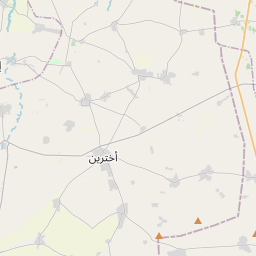
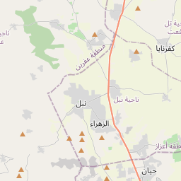
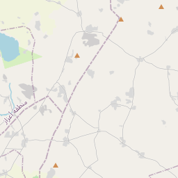
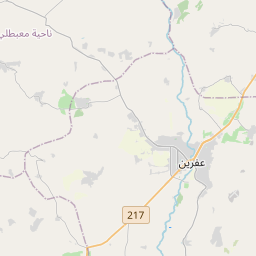
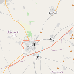
Distance Map Between `Afrin and Tadif
`Afrin, Aleppo, Syria ↔ Tadif, Aleppo, Syria = 38 miles = 62 km.


How far is it between ‘Afrīn and Tādif
`Afrin is located in Syria with (36.5119,36.8695) coordinates and Tadif is located in Syria with (36.3481,37.5309) coordinates. The calculated flying distance from `Afrin to Tadif is equal to 38 miles which is equal to 62 km.
If you want to go by car, the driving distance between `Afrin and Tadif is 100.88 km. If you ride your car with an average speed of 112 kilometers/hour (70 miles/h), travel time will be 00 hours 54 minutes. Please check the avg. speed travel time table on the right for various options.
Difference between fly and go by a car is 39 km.
| City/Place | Latitude and Longitude | GPS Coordinates |
|---|---|---|
| `Afrin | 36.5119, 36.8695 | 36° 30´ 42.9840'' N 36° 52´ 10.3440'' E |
| Tadif | 36.3481, 37.5309 | 36° 20´ 53.3040'' N 37° 31´ 51.2400'' E |
Estimated Travel Time Between ‘Afrīn and Tādif
| Average Speed | Travel Time |
|---|---|
| 30 mph (48 km/h) | 02 hours 06 minutes |
| 40 mph (64 km/h) | 01 hours 34 minutes |
| 50 mph (80 km/h) | 01 hours 15 minutes |
| 60 mph (97 km/h) | 01 hours 02 minutes |
| 70 mph (112 km/h) | 00 hours 54 minutes |
| 75 mph (120 km/h) | 00 hours 50 minutes |
Related Distances from `Afrin
| Cities | Distance |
|---|---|
| Afrin to Manbij | 150 km |
| Afrin to Jarabulus | 146 km |
| Afrin to Al Bab | 94 km |
| Afrin to Nubl | 30 km |
| Afrin to Tall Rif At | 47 km |
Related Distances to Tadif
| Cities | Distance |
|---|---|
| Al Bab to Tadif | 3 km |
| Afrin to Tadif | 101 km |
| Manbij to Tadif | 46 km |
| Nubl to Tadif | 65 km |
| As Safirah to Tadif | 48 km |