Distance from Agadir to Tebessa
Distance between Agadir and Tebessa is 1742 kilometers (1082 miles).
Driving distance from Agadir to Tebessa is 2410 kilometers (1497 miles).
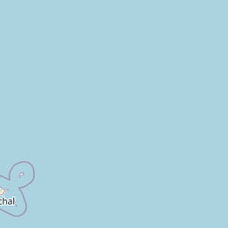
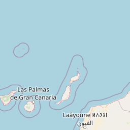
Distance Map Between Agadir and Tebessa
Agadir, Morocco ↔ Tebessa, Algeria = 1082 miles = 1742 km.


How far is it between Agadir and Tébessa
Agadir is located in Morocco with (30.4202,-9.5982) coordinates and Tebessa is located in Algeria with (35.4042,8.1242) coordinates. The calculated flying distance from Agadir to Tebessa is equal to 1082 miles which is equal to 1742 km.
If you want to go by car, the driving distance between Agadir and Tebessa is 2409.52 km. If you ride your car with an average speed of 112 kilometers/hour (70 miles/h), travel time will be 21 hours 30 minutes. Please check the avg. speed travel time table on the right for various options.
Difference between fly and go by a car is 668 km.
| City/Place | Latitude and Longitude | GPS Coordinates |
|---|---|---|
| Agadir | 30.4202, -9.5982 | 30° 25´ 12.6480'' N 9° 35´ 53.3400'' W |
| Tebessa | 35.4042, 8.1242 | 35° 24´ 15.0120'' N 8° 7´ 27.0120'' E |
Estimated Travel Time Between Agadir and Tébessa
| Average Speed | Travel Time |
|---|---|
| 30 mph (48 km/h) | 50 hours 11 minutes |
| 40 mph (64 km/h) | 37 hours 38 minutes |
| 50 mph (80 km/h) | 30 hours 07 minutes |
| 60 mph (97 km/h) | 24 hours 50 minutes |
| 70 mph (112 km/h) | 21 hours 30 minutes |
| 75 mph (120 km/h) | 20 hours 04 minutes |
Related Distances from Agadir
| Cities | Distance |
|---|---|
| Agadir to Tindouf | 2813 km |
| Agadir to Algiers | 1973 km |
| Agadir to Constantine | 2345 km |
| Agadir to Adrar | 2602 km |
| Agadir to Tebessa | 2410 km |
Related Distances to Tebessa
| Cities | Distance |
|---|---|
| Rabat to Tebessa | 1859 km |
| Beni Mellal to Tebessa | 2210 km |
| Mechra Belqsiri to Tebessa | 1914 km |
| Asilah to Tebessa | 1791 km |
| Khouribga to Tebessa | 2195 km |