Distance from Agawam to Halifax
Distance between Agawam and Halifax is 785 kilometers (488 miles).
Driving distance from Agawam to Halifax is 1253 kilometers (779 miles).
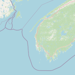
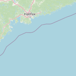
Distance Map Between Agawam and Halifax
Agawam, Boston, United States ↔ Halifax, Canada = 488 miles = 785 km.


How far is it between Agawam and Halifax
Agawam is located in United States with (42.0695,-72.6148) coordinates and Halifax is located in Canada with (44.6453,-63.5724) coordinates. The calculated flying distance from Agawam to Halifax is equal to 488 miles which is equal to 785 km.
If you want to go by car, the driving distance between Agawam and Halifax is 1253.27 km. If you ride your car with an average speed of 112 kilometers/hour (70 miles/h), travel time will be 11 hours 11 minutes. Please check the avg. speed travel time table on the right for various options.
Difference between fly and go by a car is 468 km.
| City/Place | Latitude and Longitude | GPS Coordinates |
|---|---|---|
| Agawam | 42.0695, -72.6148 | 42° 4´ 10.3440'' N 72° 36´ 53.3160'' W |
| Halifax | 44.6453, -63.5724 | 44° 38´ 43.1880'' N 63° 34´ 20.6040'' W |
Estimated Travel Time Between Agawam and Halifax
| Average Speed | Travel Time |
|---|---|
| 30 mph (48 km/h) | 26 hours 06 minutes |
| 40 mph (64 km/h) | 19 hours 34 minutes |
| 50 mph (80 km/h) | 15 hours 39 minutes |
| 60 mph (97 km/h) | 12 hours 55 minutes |
| 70 mph (112 km/h) | 11 hours 11 minutes |
| 75 mph (120 km/h) | 10 hours 26 minutes |
Related Distances from Agawam
| Cities | Distance |
|---|---|
| Agawam to Laval | 510 km |
| Agawam to Quebec | 654 km |
| Agawam to North York | 768 km |
| Agawam to Montreal | 492 km |
| Agawam to Barrie | 843 km |
Related Distances to Halifax
| Cities | Distance |
|---|---|
| Boston to Halifax | 1064 km |
| New York City to Halifax | 1393 km |
| New Brunswick to Halifax | 1449 km |
| Washington D C to Halifax | 1759 km |
| Yarmouth to Halifax | 1179 km |