Distance from Agawam to Longueuil
Distance between Agawam and Longueuil is 392 kilometers (243 miles).
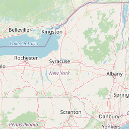
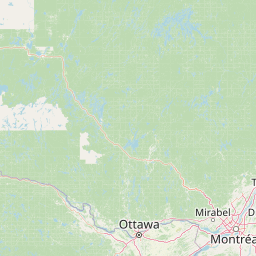
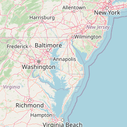
Distance Map Between Agawam and Longueuil
Agawam, Boston, United States ↔ Longueuil, Quebec, Canada = 243 miles = 392 km.


Leaflet | © OpenStreetMap
How far is it between Agawam and Longueuil
Agawam is located in United States with (42.0695,-72.6148) coordinates and Longueuil is located in Canada with (45.5312,-73.5181) coordinates. The calculated flying distance from Agawam to Longueuil is equal to 243 miles which is equal to 392 km.
| City/Place | Latitude and Longitude | GPS Coordinates |
|---|---|---|
| Agawam | 42.0695, -72.6148 | 42° 4´ 10.3440'' N 72° 36´ 53.3160'' W |
| Longueuil | 45.5312, -73.5181 | 45° 31´ 52.3560'' N 73° 31´ 5.0160'' W |
Agawam, Boston, United States
Related Distances from Agawam
| Cities | Distance |
|---|---|
| Agawam to Laval | 510 km |
| Agawam to Quebec | 654 km |
| Agawam to North York | 768 km |
| Agawam to Montreal | 492 km |
| Agawam to Barrie | 843 km |
Longueuil, Quebec, Canada
Related Distances to Longueuil
| Cities | Distance |
|---|---|
| Niagara Falls 2 to Longueuil | 682 km |
| Albany to Longueuil | 355 km |
| Washington D C to Longueuil | 941 km |
| Boston to Longueuil | 495 km |
| New York City to Longueuil | 598 km |