Distance from Ajmer to Sanchor
Distance between Ajmer and Sanchor is 344 kilometers (214 miles).
Driving distance from Ajmer to Sanchor is 429 kilometers (267 miles).
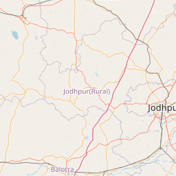
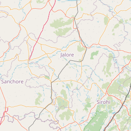
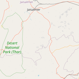
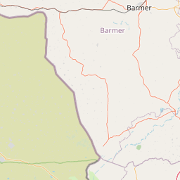
Distance Map Between Ajmer and Sanchor
Ajmer, Jaipur, India ↔ Sanchor, Jaipur, India = 214 miles = 344 km.


How far is it between Ajmer and Sānchor
Ajmer is located in India with (26.4498,74.6412) coordinates and Sanchor is located in India with (24.7536,71.7728) coordinates. The calculated flying distance from Ajmer to Sanchor is equal to 214 miles which is equal to 344 km.
If you want to go by car, the driving distance between Ajmer and Sanchor is 428.95 km. If you ride your car with an average speed of 112 kilometers/hour (70 miles/h), travel time will be 03 hours 49 minutes. Please check the avg. speed travel time table on the right for various options.
Difference between fly and go by a car is 85 km.
| City/Place | Latitude and Longitude | GPS Coordinates |
|---|---|---|
| Ajmer | 26.4498, 74.6412 | 26° 26´ 59.1360'' N 74° 38´ 28.1760'' E |
| Sanchor | 24.7536, 71.7728 | 24° 45´ 12.9960'' N 71° 46´ 22.0800'' E |
Estimated Travel Time Between Ajmer and Sānchor
| Average Speed | Travel Time |
|---|---|
| 30 mph (48 km/h) | 08 hours 56 minutes |
| 40 mph (64 km/h) | 06 hours 42 minutes |
| 50 mph (80 km/h) | 05 hours 21 minutes |
| 60 mph (97 km/h) | 04 hours 25 minutes |
| 70 mph (112 km/h) | 03 hours 49 minutes |
| 75 mph (120 km/h) | 03 hours 34 minutes |
Related Distances from Ajmer
| Cities | Distance |
|---|---|
| Ajmer to Kekri | 78 km |
| Ajmer to Sarwar | 61 km |
| Ajmer to Nasirabad | 20 km |
| Ajmer to Jahazpur | 131 km |
| Ajmer to Malpura | 120 km |
Related Distances to Sanchor
| Cities | Distance |
|---|---|
| Jodhpur to Sanchor | 263 km |
| Jaisalmer to Sanchor | 292 km |
| Bikaner to Sanchor | 496 km |
| Abu Road to Sanchor | 129 km |
| Balotra to Sanchor | 163 km |