Distance from Al Bab to Nubl
Distance between Al Bab and Nubl is 47 kilometers (29 miles).
Driving distance from Al Bab to Nubl is 66 kilometers (41 miles).
Distance Map Between Al Bab and Nubl
Al Bab, Aleppo, Syria ↔ Nubl, Aleppo, Syria = 29 miles = 47 km.

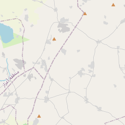

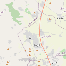
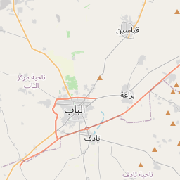
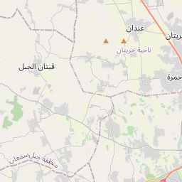


Leaflet | © OpenStreetMap
How far is it between Al Bāb and Nubl
Al Bab is located in Syria with (36.3699,37.5179) coordinates and Nubl is located in Syria with (36.3787,36.9929) coordinates. The calculated flying distance from Al Bab to Nubl is equal to 29 miles which is equal to 47 km.
If you want to go by car, the driving distance between Al Bab and Nubl is 65.54 km. If you ride your car with an average speed of 112 kilometers/hour (70 miles/h), travel time will be 00 hours 35 minutes. Please check the avg. speed travel time table on the right for various options.
Difference between fly and go by a car is 19 km.
| City/Place | Latitude and Longitude | GPS Coordinates |
|---|---|---|
| Al Bab | 36.3699, 37.5179 | 36° 22´ 11.7840'' N 37° 31´ 4.3680'' E |
| Nubl | 36.3787, 36.9929 | 36° 22´ 43.2120'' N 36° 59´ 34.5840'' E |
Estimated Travel Time Between Al Bāb and Nubl
| Average Speed | Travel Time |
|---|---|
| 30 mph (48 km/h) | 01 hours 21 minutes |
| 40 mph (64 km/h) | 01 hours 01 minutes |
| 50 mph (80 km/h) | 00 hours 49 minutes |
| 60 mph (97 km/h) | 00 hours 40 minutes |
| 70 mph (112 km/h) | 00 hours 35 minutes |
| 75 mph (120 km/h) | 00 hours 32 minutes |
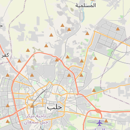
Al Bab, Aleppo, Syria
Related Distances from Al Bab
| Cities | Distance |
|---|---|
| Al Bab to Manbij | 48 km |
| Al Bab to Aleppo | 44 km |
| Al Bab to I Zaz | 57 km |
| Al Bab to Tadif | 3 km |
| Al Bab to Nubl | 66 km |
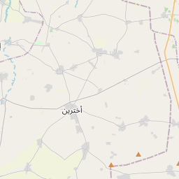
Nubl, Aleppo, Syria
Related Distances to Nubl
| Cities | Distance |
|---|---|
| Afrin to Nubl | 30 km |
| Manbij to Nubl | 113 km |
| Al Bab to Nubl | 66 km |
| As Safirah to Nubl | 55 km |
| I Zaz to Nubl | 28 km |