Distance from Alagoinhas to Prado
Distance between Alagoinhas and Prado is 585 kilometers (364 miles).
Driving distance from Alagoinhas to Prado is 755 kilometers (469 miles).
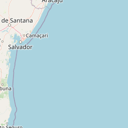
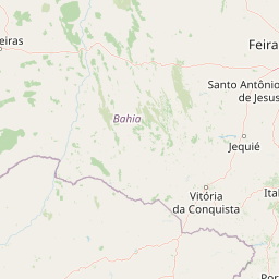
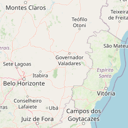
Distance Map Between Alagoinhas and Prado
Alagoinhas, Salvador, Brazil ↔ Prado, Salvador, Brazil = 364 miles = 585 km.


How far is it between Alagoinhas and Prado
Alagoinhas is located in Brazil with (-12.1356,-38.4192) coordinates and Prado is located in Brazil with (-17.3411,-39.2208) coordinates. The calculated flying distance from Alagoinhas to Prado is equal to 364 miles which is equal to 585 km.
If you want to go by car, the driving distance between Alagoinhas and Prado is 754.86 km. If you ride your car with an average speed of 112 kilometers/hour (70 miles/h), travel time will be 06 hours 44 minutes. Please check the avg. speed travel time table on the right for various options.
Difference between fly and go by a car is 170 km.
| City/Place | Latitude and Longitude | GPS Coordinates |
|---|---|---|
| Alagoinhas | -12.1356, -38.4192 | 12° 8´ 8.0160'' S 38° 25´ 9.0120'' W |
| Prado | -17.3411, -39.2208 | 17° 20´ 27.9960'' S 39° 13´ 14.9880'' W |
Estimated Travel Time Between Alagoinhas and Prado
| Average Speed | Travel Time |
|---|---|
| 30 mph (48 km/h) | 15 hours 43 minutes |
| 40 mph (64 km/h) | 11 hours 47 minutes |
| 50 mph (80 km/h) | 09 hours 26 minutes |
| 60 mph (97 km/h) | 07 hours 46 minutes |
| 70 mph (112 km/h) | 06 hours 44 minutes |
| 75 mph (120 km/h) | 06 hours 17 minutes |
Related Distances from Alagoinhas
| Cities | Distance |
|---|---|
| Alagoinhas to Senhor Do Bonfim | 321 km |
| Alagoinhas to Santa Maria Da Vitoria | 830 km |
| Alagoinhas to Paulo Afonso | 348 km |
| Alagoinhas to Iacu | 243 km |
| Alagoinhas to Jacobina | 277 km |
Related Distances to Prado
| Cities | Distance |
|---|---|
| Pocoes to Prado | 427 km |
| Cicero Dantas to Prado | 929 km |
| Porto Seguro to Prado | 209 km |
| Brumado to Prado | 577 km |
| Catu to Prado | 774 km |