Distance from Alandur to Arakkonam
Distance between Alandur and Arakkonam is 59 kilometers (36 miles).
Driving distance from Alandur to Arakkonam is 74 kilometers (46 miles).
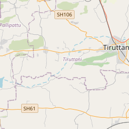
Distance Map Between Alandur and Arakkonam
Alandur, Chennai, India ↔ Arakkonam, Chennai, India = 36 miles = 59 km.


How far is it between Alandur and Arakkonam
Alandur is located in India with (13.0025,80.2061) coordinates and Arakkonam is located in India with (13.0845,79.6705) coordinates. The calculated flying distance from Alandur to Arakkonam is equal to 36 miles which is equal to 59 km.
If you want to go by car, the driving distance between Alandur and Arakkonam is 73.52 km. If you ride your car with an average speed of 112 kilometers/hour (70 miles/h), travel time will be 00 hours 39 minutes. Please check the avg. speed travel time table on the right for various options.
Difference between fly and go by a car is 15 km.
| City/Place | Latitude and Longitude | GPS Coordinates |
|---|---|---|
| Alandur | 13.0025, 80.2061 | 13° 0´ 9.0000'' N 80° 12´ 21.9960'' E |
| Arakkonam | 13.0845, 79.6705 | 13° 5´ 4.1640'' N 79° 40´ 13.9080'' E |
Estimated Travel Time Between Alandur and Arakkonam
| Average Speed | Travel Time |
|---|---|
| 30 mph (48 km/h) | 01 hours 31 minutes |
| 40 mph (64 km/h) | 01 hours 08 minutes |
| 50 mph (80 km/h) | 00 hours 55 minutes |
| 60 mph (97 km/h) | 00 hours 45 minutes |
| 70 mph (112 km/h) | 00 hours 39 minutes |
| 75 mph (120 km/h) | 00 hours 36 minutes |
Related Distances from Alandur
| Cities | Distance |
|---|---|
| Alandur to Pallavaram | 8 km |
| Alandur to Guduvancheri | 25 km |
| Alandur to Ambattur | 16 km |
| Alandur to Avadi | 21 km |
| Alandur to Chengalpattu | 45 km |
Related Distances to Arakkonam
| Cities | Distance |
|---|---|
| Ambattur to Arakkonam | 82 km |
| Porur to Arakkonam | 67 km |
| Madipakkam to Arakkonam | 81 km |
| Ambur to Arakkonam | 126 km |
| Alandur to Arakkonam | 74 km |