Distance from Aleppo to Zifta
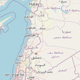
Distance between Aleppo and Zifta is 820 kilometers (510 miles).
Distance Map Between Aleppo and Zifta
Aleppo, Syria ↔ Zifta, Tanda, Egypt = 510 miles = 820 km.


Leaflet | © OpenStreetMap
How far is it between Aleppo and Ziftá
Aleppo is located in Syria with (36.2012,37.1612) coordinates and Zifta is located in Egypt with (30.7142,31.2443) coordinates. The calculated flying distance from Aleppo to Zifta is equal to 510 miles which is equal to 820 km.
| City/Place | Latitude and Longitude | GPS Coordinates |
|---|---|---|
| Aleppo | 36.2012, 37.1612 | 36° 12´ 4.4640'' N 37° 9´ 40.2120'' E |
| Zifta | 30.7142, 31.2443 | 30° 42´ 51.1200'' N 31° 14´ 39.3000'' E |
Aleppo, Syria
Related Distances from Aleppo
| Cities | Distance |
|---|---|
| Aleppo to Cairo | 2637 km |
| Aleppo to Alexandria | 1663 km |
| Aleppo to Port Said | 2772 km |
| Aleppo to Ismailia | 2643 km |
| Aleppo to Hurghada | 2188 km |