Distance from Alfortville to Meaux
Distance between Alfortville and Meaux is 38 kilometers (23 miles).
Driving distance from Alfortville to Meaux is 49 kilometers (31 miles).
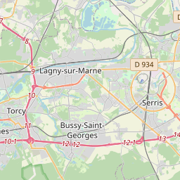
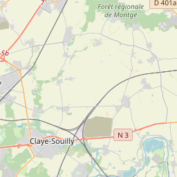
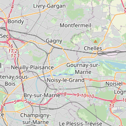
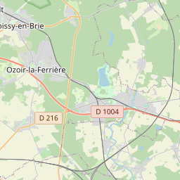
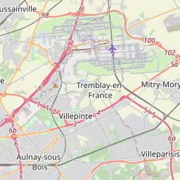
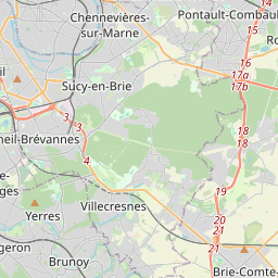
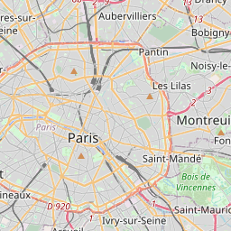
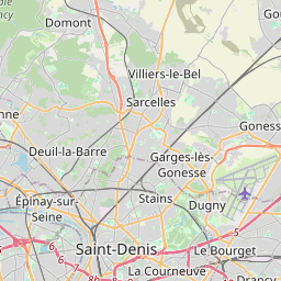
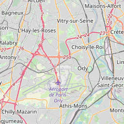
Distance Map Between Alfortville and Meaux
Alfortville, Paris, France ↔ Meaux, Paris, France = 23 miles = 38 km.


How far is it between Alfortville and Meaux
Alfortville is located in France with (48.8058,2.4204) coordinates and Meaux is located in France with (48.9601,2.8789) coordinates. The calculated flying distance from Alfortville to Meaux is equal to 23 miles which is equal to 38 km.
If you want to go by car, the driving distance between Alfortville and Meaux is 49.2 km. If you ride your car with an average speed of 112 kilometers/hour (70 miles/h), travel time will be 00 hours 26 minutes. Please check the avg. speed travel time table on the right for various options.
Difference between fly and go by a car is 11 km.
| City/Place | Latitude and Longitude | GPS Coordinates |
|---|---|---|
| Alfortville | 48.8058, 2.4204 | 48° 48´ 20.7000'' N 2° 25´ 13.4400'' E |
| Meaux | 48.9601, 2.8789 | 48° 57´ 36.5040'' N 2° 52´ 43.8600'' E |
Estimated Travel Time Between Alfortville and Meaux
| Average Speed | Travel Time |
|---|---|
| 30 mph (48 km/h) | 01 hours 01 minutes |
| 40 mph (64 km/h) | 00 hours 46 minutes |
| 50 mph (80 km/h) | 00 hours 36 minutes |
| 60 mph (97 km/h) | 00 hours 30 minutes |
| 70 mph (112 km/h) | 00 hours 26 minutes |
| 75 mph (120 km/h) | 00 hours 24 minutes |
Related Distances from Alfortville
| Cities | Distance |
|---|---|
| Alfortville to Antony | 20 km |
| Alfortville to Arcueil | 11 km |
| Alfortville to Argenteuil | 36 km |
| Alfortville to Asnieres Sur Seine | 25 km |
| Alfortville to Athis Mons | 21 km |
| Alfortville to Aubervilliers | 18 km |
| Alfortville to Aulnay Sous Bois | 21 km |
| Alfortville to Avon 2 | 73 km |
| Alfortville to Bagneux | 14 km |
| Alfortville to Bagnolet | 11 km |
Related Distances to Meaux
| Cities | Distance |
|---|---|
| Houilles to Meaux | 59 km |
| Colombes to Meaux | 56 km |
| Clichy to Meaux | 52 km |
| La Defense to Meaux | 62 km |
| Conflans Sainte Honorine to Meaux | 73 km |
| Livry Gargan to Meaux | 27 km |
| Antony to Meaux | 63 km |
| Clichy Sous Bois to Meaux | 28 km |
| Joinville Le Pont to Meaux | 44 km |
| Garges Les Gonesse to Meaux | 43 km |