Distance from Alfortville to Montigny-le-Bretonneux
Distance between Alfortville and Montigny-le-Bretonneux is 29 kilometers (18 miles).
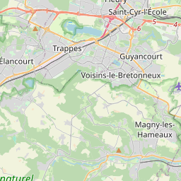
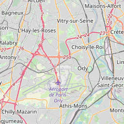
Distance Map Between Alfortville and Montigny-le-Bretonneux
Alfortville, Paris, France ↔ Montigny-le-Bretonneux, Paris, France = 18 miles = 29 km.
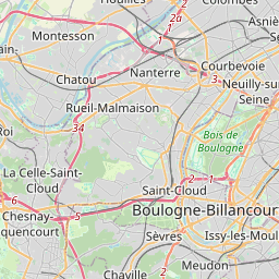
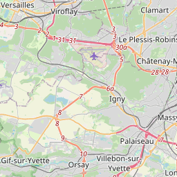
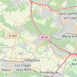
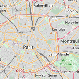

Leaflet | © OpenStreetMap
How far is it between Alfortville and Montigny-le-Bretonneux
Alfortville is located in France with (48.8058,2.4204) coordinates and Montigny-le-Bretonneux is located in France with (48.7664,2.0341) coordinates. The calculated flying distance from Alfortville to Montigny-le-Bretonneux is equal to 18 miles which is equal to 29 km.
| City/Place | Latitude and Longitude | GPS Coordinates |
|---|---|---|
| Alfortville | 48.8058, 2.4204 | 48° 48´ 20.7000'' N 2° 25´ 13.4400'' E |
| Montigny-le-Bretonneux | 48.7664, 2.0341 | 48° 45´ 58.8960'' N 2° 2´ 2.5800'' E |
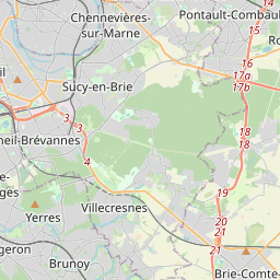
Alfortville, Paris, France
Related Distances from Alfortville
| Cities | Distance |
|---|---|
| Alfortville to Montrouge | 13 km |
| Alfortville to Sarcelles | 35 km |
| Alfortville to Villemomble | 15 km |
| Alfortville to Coulommiers | 56 km |
| Alfortville to Maisons Alfort | 3 km |
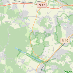
Montigny-le-Bretonneux, Paris, France