Distance from Algiers to Cham
Distance between Algiers and Cham is 1589 kilometers (987 miles).
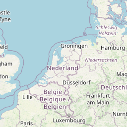
Distance Map Between Algiers and Cham
Algiers, Algeria ↔ Cham, Munich, Germany = 987 miles = 1589 km.


Leaflet | © OpenStreetMap
How far is it between Algiers and Cham
Algiers is located in Algeria with (36.7525,3.042) coordinates and Cham is located in Germany with (49.2257,12.655) coordinates. The calculated flying distance from Algiers to Cham is equal to 987 miles which is equal to 1589 km.
| City/Place | Latitude and Longitude | GPS Coordinates |
|---|---|---|
| Algiers | 36.7525, 3.042 | 36° 45´ 9.0000'' N 3° 2´ 31.0920'' E |
| Cham | 49.2257, 12.655 | 49° 13´ 32.3400'' N 12° 39´ 18.0360'' E |
Algiers, Algeria
Related Distances from Algiers
| Cities | Distance |
|---|---|
| Algiers to Munich | 2943 km |
| Algiers to Frankfurt Am Main | 2907 km |
| Algiers to Dusseldorf | 2966 km |
| Algiers to Stuttgart | 2837 km |
| Algiers to Erfurt | 3154 km |
Cham, Munich, Germany
Related Distances to Cham
| Cities | Distance |
|---|---|
| Bamberg to Cham | 193 km |
| Augsburg to Cham | 206 km |
| Bayreuth to Cham | 142 km |
| Ansbach to Cham | 178 km |
| Bad Aibling to Cham | 245 km |