Distance from Alicante to Catarroja
Distance between Alicante and Catarroja is 117 kilometers (73 miles).
Driving distance from Alicante to Catarroja is 172 kilometers (107 miles).
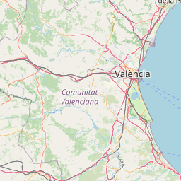
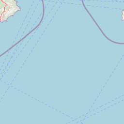
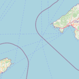
Distance Map Between Alicante and Catarroja
Alicante, Valencia, Spain ↔ Catarroja, Valencia, Spain = 73 miles = 117 km.


How far is it between Alicante and Catarroja
Alicante is located in Spain with (38.3452,-0.4815) coordinates and Catarroja is located in Spain with (39.4,-0.4) coordinates. The calculated flying distance from Alicante to Catarroja is equal to 73 miles which is equal to 117 km.
If you want to go by car, the driving distance between Alicante and Catarroja is 172.44 km. If you ride your car with an average speed of 112 kilometers/hour (70 miles/h), travel time will be 01 hours 32 minutes. Please check the avg. speed travel time table on the right for various options.
Difference between fly and go by a car is 55 km.
| City/Place | Latitude and Longitude | GPS Coordinates |
|---|---|---|
| Alicante | 38.3452, -0.4815 | 38° 20´ 42.6120'' N 0° 28´ 53.3640'' W |
| Catarroja | 39.4, -0.4 | 39° 23´ 60.0000'' N 0° 24´ 0.0000'' W |
Estimated Travel Time Between Alicante and Catarroja
| Average Speed | Travel Time |
|---|---|
| 30 mph (48 km/h) | 03 hours 35 minutes |
| 40 mph (64 km/h) | 02 hours 41 minutes |
| 50 mph (80 km/h) | 02 hours 09 minutes |
| 60 mph (97 km/h) | 01 hours 46 minutes |
| 70 mph (112 km/h) | 01 hours 32 minutes |
| 75 mph (120 km/h) | 01 hours 26 minutes |
Related Distances from Alicante
| Cities | Distance |
|---|---|
| Alicante to Barcelona | 535 km |
| Alicante to Benidorm | 44 km |
| Alicante to Madrid | 420 km |
| Alicante to Denia | 91 km |
| Alicante to Torrevieja | 51 km |
Related Distances to Catarroja
| Cities | Distance |
|---|---|
| Alicante to Catarroja | 172 km |
| Alzira to Catarroja | 38 km |
| Burriana to Catarroja | 79 km |
| Aspe to Catarroja | 154 km |
| Castello De La Plana to Catarroja | 92 km |