Distance from Allahabad to Nihtaur
Distance between Allahabad and Nihtaur is 549 kilometers (341 miles).
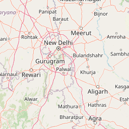
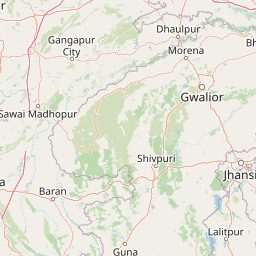
Distance Map Between Allahabad and Nihtaur
Allahabad, Lucknow, India ↔ Nihtaur, Lucknow, India = 341 miles = 549 km.


Leaflet | © OpenStreetMap
How far is it between Allahābād and Nihtaur
Allahabad is located in India with (25.4489,81.8333) coordinates and Nihtaur is located in India with (29.324,78.3867) coordinates. The calculated flying distance from Allahabad to Nihtaur is equal to 341 miles which is equal to 549 km.
| City/Place | Latitude and Longitude | GPS Coordinates |
|---|---|---|
| Allahabad | 25.4489, 81.8333 | 25° 26´ 56.1840'' N 81° 49´ 59.8440'' E |
| Nihtaur | 29.324, 78.3867 | 29° 19´ 26.2560'' N 78° 23´ 12.2280'' E |
Allahabad, Lucknow, India
Related Distances from Allahabad
| Cities | Distance |
|---|---|
| Allahabad to Jhusi | 8 km |
| Allahabad to Handia | 38 km |
| Allahabad to Manjhanpur | 52 km |
| Allahabad to Nawabganj 2 | 231 km |
| Allahabad to Machhlishahr | 72 km |
Nihtaur, Lucknow, India
Related Distances to Nihtaur
| Cities | Distance |
|---|---|
| Hapur to Nihtaur | 121 km |
| Banda to Nihtaur | 569 km |
| Basti to Nihtaur | 650 km |
| Bulandshahr to Nihtaur | 140 km |
| Agra to Nihtaur | 332 km |