Distance from Almaty to Bijnor
Distance between Almaty and Bijnor is 1548 kilometers (962 miles).
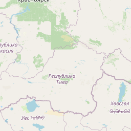
Distance Map Between Almaty and Bijnor
Almaty, Kazakhstan ↔ Bijnor, Lucknow, India = 962 miles = 1548 km.


Leaflet | © OpenStreetMap
How far is it between Almaty and Bijnor
Almaty is located in Kazakhstan with (43.2565,76.9285) coordinates and Bijnor is located in India with (29.3722,78.1363) coordinates. The calculated flying distance from Almaty to Bijnor is equal to 962 miles which is equal to 1548 km.
| City/Place | Latitude and Longitude | GPS Coordinates |
|---|---|---|
| Almaty | 43.2565, 76.9285 | 43° 15´ 23.5440'' N 76° 55´ 42.5280'' E |
| Bijnor | 29.3722, 78.1363 | 29° 22´ 19.8840'' N 78° 8´ 10.7520'' E |
Almaty, Kazakhstan
Related Distances from Almaty
| Cities | Distance |
|---|---|
| Almaty to New Delhi | 4463 km |
| Almaty to Delhi | 4502 km |
| Almaty to Srinagar | 5173 km |
| Almaty to Srinagar 2 | 4456 km |
| Almaty to Amritsar | 4802 km |
Bijnor, Lucknow, India
Related Distances to Bijnor
| Cities | Distance |
|---|---|
| Noida to Bijnor | 142 km |
| Afzalgarh to Bijnor | 60 km |
| Amroha to Bijnor | 70 km |
| Bareilly to Bijnor | 178 km |
| Aligarh to Bijnor | 197 km |