Distance from Altotonga to Misantla
Distance between Altotonga and Misantla is 45 kilometers (28 miles).
Driving distance from Altotonga to Misantla is 97 kilometers (61 miles).
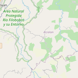
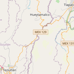
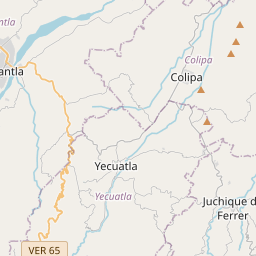
Distance Map Between Altotonga and Misantla
Altotonga, Xalapa de Enriquez, Mexico ↔ Misantla, Xalapa de Enriquez, Mexico = 28 miles = 45 km.


How far is it between Altotonga and Misantla
Altotonga is located in Mexico with (19.7661,-97.2451) coordinates and Misantla is located in Mexico with (19.9299,-96.8519) coordinates. The calculated flying distance from Altotonga to Misantla is equal to 28 miles which is equal to 45 km.
If you want to go by car, the driving distance between Altotonga and Misantla is 97.48 km. If you ride your car with an average speed of 112 kilometers/hour (70 miles/h), travel time will be 00 hours 52 minutes. Please check the avg. speed travel time table on the right for various options.
Difference between fly and go by a car is 52 km.
| City/Place | Latitude and Longitude | GPS Coordinates |
|---|---|---|
| Altotonga | 19.7661, -97.2451 | 19° 45´ 58.0680'' N 97° 14´ 42.5040'' W |
| Misantla | 19.9299, -96.8519 | 19° 55´ 47.7120'' N 96° 51´ 6.9840'' W |
Estimated Travel Time Between Altotonga and Misantla
| Average Speed | Travel Time |
|---|---|
| 30 mph (48 km/h) | 02 hours 01 minutes |
| 40 mph (64 km/h) | 01 hours 31 minutes |
| 50 mph (80 km/h) | 01 hours 13 minutes |
| 60 mph (97 km/h) | 01 hours 00 minutes |
| 70 mph (112 km/h) | 00 hours 52 minutes |
| 75 mph (120 km/h) | 00 hours 48 minutes |
Related Distances from Altotonga
| Cities | Distance |
|---|---|
| Altotonga to Veracruz | 171 km |
| Altotonga to Lerdo De Tejada | 268 km |
| Altotonga to Cerro Azul | 274 km |
| Altotonga to Perote | 25 km |
| Altotonga to La Isla | 272 km |
Related Distances to Misantla
| Cities | Distance |
|---|---|
| La Isla to Misantla | 245 km |
| Agua Dulce to Misantla | 516 km |
| Martinez De La Torre to Misantla | 47 km |
| Cordoba 3 to Misantla | 270 km |
| Acayucan to Misantla | 425 km |