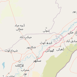
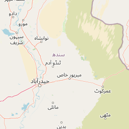
Distance from Alwar to Devgarh
Distance between Alwar and Devgarh is 353 kilometers (219 miles).
Driving distance from Alwar to Devgarh is 420 kilometers (261 miles).
Distance Map Between Alwar and Devgarh
Alwar, Jaipur, India ↔ Devgarh, Jaipur, India = 219 miles = 353 km.


How far is it between Alwar and Devgarh
Alwar is located in India with (27.5625,76.625) coordinates and Devgarh is located in India with (25.5253,73.9081) coordinates. The calculated flying distance from Alwar to Devgarh is equal to 219 miles which is equal to 353 km.
If you want to go by car, the driving distance between Alwar and Devgarh is 420.32 km. If you ride your car with an average speed of 112 kilometers/hour (70 miles/h), travel time will be 03 hours 45 minutes. Please check the avg. speed travel time table on the right for various options.
Difference between fly and go by a car is 67 km.
| City/Place | Latitude and Longitude | GPS Coordinates |
|---|---|---|
| Alwar | 27.5625, 76.625 | 27° 33´ 44.8560'' N 76° 37´ 30.0000'' E |
| Devgarh | 25.5253, 73.9081 | 25° 31´ 31.1880'' N 73° 54´ 29.2320'' E |
Estimated Travel Time Between Alwar and Devgarh
| Average Speed | Travel Time |
|---|---|
| 30 mph (48 km/h) | 08 hours 45 minutes |
| 40 mph (64 km/h) | 06 hours 34 minutes |
| 50 mph (80 km/h) | 05 hours 15 minutes |
| 60 mph (97 km/h) | 04 hours 19 minutes |
| 70 mph (112 km/h) | 03 hours 45 minutes |
| 75 mph (120 km/h) | 03 hours 30 minutes |
Related Distances from Alwar
| Cities | Distance |
|---|---|
| Alwar to Tijara | 54 km |
| Alwar to Rajgarh 2 | 41 km |
| Alwar to Nagar | 52 km |
| Alwar to Shahpura | 96 km |
| Alwar to Bharatpur | 104 km |
Related Distances to Devgarh
| Cities | Distance |
|---|---|
| Beawar to Devgarh | 91 km |
| Bhilwara to Devgarh | 94 km |
| Ajmer to Devgarh | 143 km |
| Bundi to Devgarh | 230 km |
| Alwar to Devgarh | 420 km |