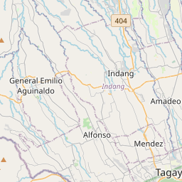
Distance from Amadeo to Bay
Distance between Amadeo and Bay is 39 kilometers (24 miles).
Driving distance from Amadeo to Bay is 57 kilometers (35 miles).
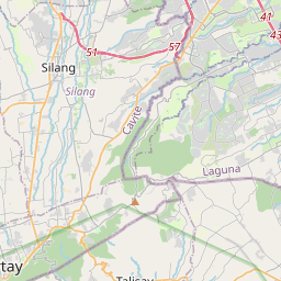
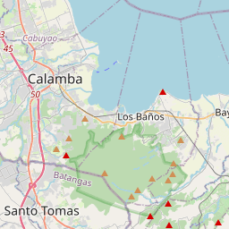
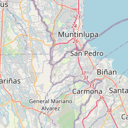
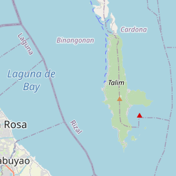
Distance Map Between Amadeo and Bay
Amadeo, Calamba, Philippines ↔ Bay, Calamba, Philippines = 24 miles = 39 km.

How far is it between Amadeo and Bay
Amadeo is located in Philippines with (14.1706,120.9236) coordinates and Bay is located in Philippines with (14.1837,121.2855) coordinates. The calculated flying distance from Amadeo to Bay is equal to 24 miles which is equal to 39 km.
If you want to go by car, the driving distance between Amadeo and Bay is 56.96 km. If you ride your car with an average speed of 112 kilometers/hour (70 miles/h), travel time will be 00 hours 30 minutes. Please check the avg. speed travel time table on the right for various options.
Difference between fly and go by a car is 18 km.
| City/Place | Latitude and Longitude | GPS Coordinates |
|---|---|---|
| Amadeo | 14.1706, 120.9236 | 14° 10´ 14.0160'' N 120° 55´ 24.9960'' E |
| Bay | 14.1837, 121.2855 | 14° 11´ 1.2480'' N 121° 17´ 7.9440'' E |
Estimated Travel Time Between Amadeo and Bay
| Average Speed | Travel Time |
|---|---|
| 30 mph (48 km/h) | 01 hours 11 minutes |
| 40 mph (64 km/h) | 00 hours 53 minutes |
| 50 mph (80 km/h) | 00 hours 42 minutes |
| 60 mph (97 km/h) | 00 hours 35 minutes |
| 70 mph (112 km/h) | 00 hours 30 minutes |
| 75 mph (120 km/h) | 00 hours 28 minutes |
Related Distances from Amadeo
| Cities | Distance |
|---|---|
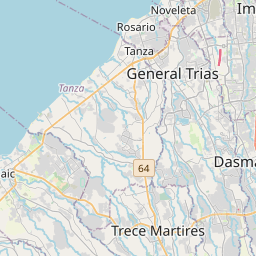
| Amadeo to General Trias | 27 km |
| Amadeo to Dasmarinas | 24 km |
| Amadeo to Naic | 29 km |
| Amadeo to Taal | 47 km |
| Amadeo to Bacoor | 40 km |
Related Distances to Bay
| Cities | Distance |
|---|---|
| Bambang to Bayombong | 16 km |
| Abuyog to Baybay | 42 km |
| Bais to Bayawan | 71 km |
| Alicia to Bayombong | 85 km |
| Tanjay to Bayawan | 58 km |