Distance from Amherst to Gatineau
Distance between Amherst and Gatineau is 372 kilometers (231 miles).
Driving distance from Amherst to Gatineau is 540 kilometers (335 miles).
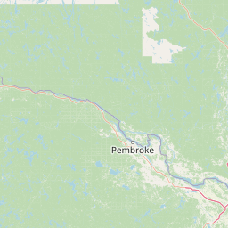
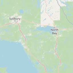
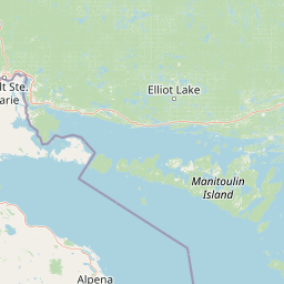
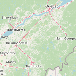
Distance Map Between Amherst and Gatineau
Amherst, Albany, United States ↔ Gatineau, Quebec, Canada = 231 miles = 372 km.


How far is it between Amherst and Gatineau
Amherst is located in United States with (42.9784,-78.7998) coordinates and Gatineau is located in Canada with (45.4772,-75.7016) coordinates. The calculated flying distance from Amherst to Gatineau is equal to 231 miles which is equal to 372 km.
If you want to go by car, the driving distance between Amherst and Gatineau is 539.78 km. If you ride your car with an average speed of 112 kilometers/hour (70 miles/h), travel time will be 04 hours 49 minutes. Please check the avg. speed travel time table on the right for various options.
Difference between fly and go by a car is 168 km.
| City/Place | Latitude and Longitude | GPS Coordinates |
|---|---|---|
| Amherst | 42.9784, -78.7998 | 42° 58´ 42.2040'' N 78° 47´ 59.1360'' W |
| Gatineau | 45.4772, -75.7016 | 45° 28´ 38.0280'' N 75° 42´ 5.9040'' W |
Estimated Travel Time Between Amherst and Gatineau
| Average Speed | Travel Time |
|---|---|
| 30 mph (48 km/h) | 11 hours 14 minutes |
| 40 mph (64 km/h) | 08 hours 26 minutes |
| 50 mph (80 km/h) | 06 hours 44 minutes |
| 60 mph (97 km/h) | 05 hours 33 minutes |
| 70 mph (112 km/h) | 04 hours 49 minutes |
| 75 mph (120 km/h) | 04 hours 29 minutes |
Related Distances from Amherst
| Cities | Distance |
|---|---|
| Amherst to Brampton | 158 km |
| Amherst to Etobicoke | 154 km |
| Amherst to Gatineau | 540 km |
| Amherst to Halifax | 1770 km |
| Amherst to Hamilton | 107 km |
| Amherst to Kitchener | 179 km |
| Amherst to Laval | 633 km |
| Amherst to London 2 | 235 km |
| Amherst to Longueuil | 652 km |
| Amherst to Markham | 201 km |
Related Distances to Gatineau
| Cities | Distance |
|---|---|
| New York City to Gatineau | 718 km |
| Dearborn to Gatineau | 830 km |
| Dearborn Heights to Gatineau | 839 km |
| Wheeling to Gatineau | 1339 km |
| Chambersburg to Gatineau | 808 km |
| New Lenox to Gatineau | 1291 km |
| Crystal Lake to Gatineau | 1327 km |
| Boston to Gatineau | 695 km |
| Providence to Gatineau | 722 km |
| Memphis to Gatineau | 2010 km |