Distance from Amman to Al Kut
Distance between Amman and Al Kut is 930 kilometers (578 miles).
Driving distance from Amman to Al Kut is 1053 kilometers (654 miles).
Distance Map Between Amman and Al Kut
Amman, Jordan ↔ Al Kut, Iraq = 578 miles = 930 km.


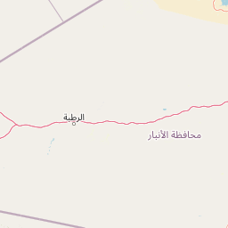

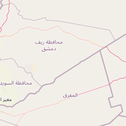
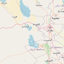


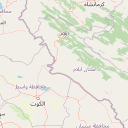


Leaflet | © OpenStreetMap
How far is it between Amman and Al Kūt
Amman is located in Jordan with (31.9552,35.945) coordinates and Al Kut is located in Iraq with (32.5128,45.8182) coordinates. The calculated flying distance from Amman to Al Kut is equal to 578 miles which is equal to 930 km.
If you want to go by car, the driving distance between Amman and Al Kut is 1053.01 km. If you ride your car with an average speed of 112 kilometers/hour (70 miles/h), travel time will be 09 hours 24 minutes. Please check the avg. speed travel time table on the right for various options.
Difference between fly and go by a car is 123 km.
| City/Place | Latitude and Longitude | GPS Coordinates |
|---|---|---|
| Amman | 31.9552, 35.945 | 31° 57´ 18.7920'' N 35° 56´ 42.1080'' E |
| Al Kut | 32.5128, 45.8182 | 32° 30´ 46.0800'' N 45° 49´ 5.4120'' E |
Estimated Travel Time Between Amman and Al Kūt
| Average Speed | Travel Time |
|---|---|
| 30 mph (48 km/h) | 21 hours 56 minutes |
| 40 mph (64 km/h) | 16 hours 27 minutes |
| 50 mph (80 km/h) | 13 hours 09 minutes |
| 60 mph (97 km/h) | 10 hours 51 minutes |
| 70 mph (112 km/h) | 09 hours 24 minutes |
| 75 mph (120 km/h) | 08 hours 46 minutes |
Amman, Jordan
Related Distances from Amman
| Cities | Distance |
|---|---|
| Amman to Baghdad | 896 km |
| Amman to Mosul | 1146 km |
| Amman to Karbala | 863 km |
| Amman to Al Basrah | 1399 km |
| Amman to Ramadi | 760 km |