Distance from Amod to Than
Distance between Amod and Than is 184 kilometers (114 miles).
Driving distance from Amod to Than is 261 kilometers (162 miles).
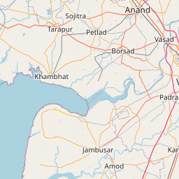
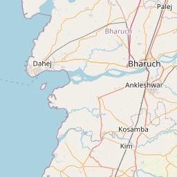
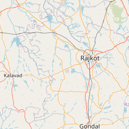
Distance Map Between Amod and Than
Amod, Ghandinagar, India ↔ Than, Ghandinagar, India = 114 miles = 184 km.


How far is it between Amod and Thān
Amod is located in India with (21.9932,72.8705) coordinates and Than is located in India with (22.5742,71.1994) coordinates. The calculated flying distance from Amod to Than is equal to 114 miles which is equal to 184 km.
If you want to go by car, the driving distance between Amod and Than is 260.73 km. If you ride your car with an average speed of 112 kilometers/hour (70 miles/h), travel time will be 02 hours 19 minutes. Please check the avg. speed travel time table on the right for various options.
Difference between fly and go by a car is 77 km.
| City/Place | Latitude and Longitude | GPS Coordinates |
|---|---|---|
| Amod | 21.9932, 72.8705 | 21° 59´ 35.4120'' N 72° 52´ 13.6920'' E |
| Than | 22.5742, 71.1994 | 22° 34´ 27.1920'' N 71° 11´ 57.9120'' E |
Estimated Travel Time Between Amod and Thān
| Average Speed | Travel Time |
|---|---|
| 30 mph (48 km/h) | 05 hours 25 minutes |
| 40 mph (64 km/h) | 04 hours 04 minutes |
| 50 mph (80 km/h) | 03 hours 15 minutes |
| 60 mph (97 km/h) | 02 hours 41 minutes |
| 70 mph (112 km/h) | 02 hours 19 minutes |
| 75 mph (120 km/h) | 02 hours 10 minutes |
Related Distances from Amod
| Cities | Distance |
|---|---|
| Amod to Bharuch | 38 km |
| Amod to Jambusar | 12 km |
| Amod to Vadodara | 67 km |
| Amod to Ankleshwar | 52 km |
| Amod to Surat | 111 km |
Related Distances to Than
| Cities | Distance |
|---|---|
| Chotila to Than | 21 km |
| Airoli to Thane | 11 km |
| Powai to Thane | 14 km |
| Rajkot to Than | 70 km |
| Dombivli to Thane | 29 km |