Distance from Amreli to Keshod
Distance between Amreli and Keshod is 105 kilometers (65 miles).
Driving distance from Amreli to Keshod is 123 kilometers (77 miles).
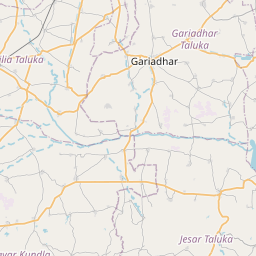
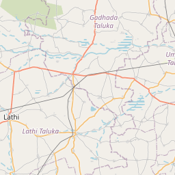
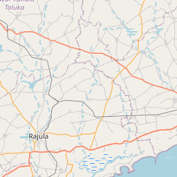
Distance Map Between Amreli and Keshod
Amreli, Ghandinagar, India ↔ Keshod, Ghandinagar, India = 65 miles = 105 km.


How far is it between Amreli and Keshod
Amreli is located in India with (21.5998,71.2117) coordinates and Keshod is located in India with (21.3033,70.2486) coordinates. The calculated flying distance from Amreli to Keshod is equal to 65 miles which is equal to 105 km.
If you want to go by car, the driving distance between Amreli and Keshod is 123.4 km. If you ride your car with an average speed of 112 kilometers/hour (70 miles/h), travel time will be 01 hours 06 minutes. Please check the avg. speed travel time table on the right for various options.
Difference between fly and go by a car is 18 km.
| City/Place | Latitude and Longitude | GPS Coordinates |
|---|---|---|
| Amreli | 21.5998, 71.2117 | 21° 35´ 59.3880'' N 71° 12´ 42.0840'' E |
| Keshod | 21.3033, 70.2486 | 21° 18´ 11.8080'' N 70° 14´ 54.9960'' E |
Estimated Travel Time Between Amreli and Keshod
| Average Speed | Travel Time |
|---|---|
| 30 mph (48 km/h) | 02 hours 34 minutes |
| 40 mph (64 km/h) | 01 hours 55 minutes |
| 50 mph (80 km/h) | 01 hours 32 minutes |
| 60 mph (97 km/h) | 01 hours 16 minutes |
| 70 mph (112 km/h) | 01 hours 06 minutes |
| 75 mph (120 km/h) | 01 hours 01 minutes |
Related Distances from Amreli
| Cities | Distance |
|---|---|
| Amreli to Lathi | 25 km |
| Amreli to Babra | 34 km |
| Amreli to Una | 109 km |
| Amreli to Dhari | 41 km |
| Amreli to Damnagar | 42 km |
Related Distances to Keshod
| Cities | Distance |
|---|---|
| Junagadh to Keshod | 37 km |
| Ahmedabad to Keshod | 356 km |
| Dwarka to Keshod | 200 km |
| Jetpur to Keshod | 70 km |
| Jamnagar to Keshod | 173 km |