Distance from Amsterdam to Fleetwood
Distance between Amsterdam and Fleetwood is 554 kilometers (344 miles).
Driving distance from Amsterdam to Fleetwood is 961 kilometers (597 miles).
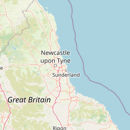
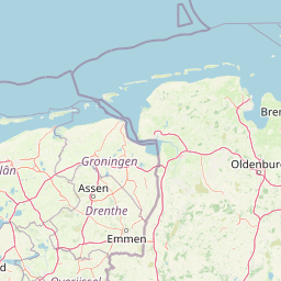
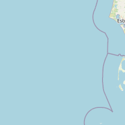
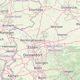
Distance Map Between Amsterdam and Fleetwood
Amsterdam, Haarlem, Netherlands ↔ Fleetwood, London, United Kingdom = 344 miles = 554 km.


How far is it between Amsterdam and Fleetwood
Amsterdam is located in Netherlands with (52.374,4.8897) coordinates and Fleetwood is located in United Kingdom with (53.9253,-3.0109) coordinates. The calculated flying distance from Amsterdam to Fleetwood is equal to 344 miles which is equal to 554 km.
If you want to go by car, the driving distance between Amsterdam and Fleetwood is 961.45 km. If you ride your car with an average speed of 112 kilometers/hour (70 miles/h), travel time will be 08 hours 35 minutes. Please check the avg. speed travel time table on the right for various options.
Difference between fly and go by a car is 407 km.
| City/Place | Latitude and Longitude | GPS Coordinates |
|---|---|---|
| Amsterdam | 52.374, 4.8897 | 52° 22´ 26.5080'' N 4° 53´ 22.8840'' E |
| Fleetwood | 53.9253, -3.0109 | 53° 55´ 30.9720'' N 3° 0´ 39.0600'' W |
Estimated Travel Time Between Amsterdam and Fleetwood
| Average Speed | Travel Time |
|---|---|
| 30 mph (48 km/h) | 20 hours 01 minutes |
| 40 mph (64 km/h) | 15 hours 01 minutes |
| 50 mph (80 km/h) | 12 hours 01 minutes |
| 60 mph (97 km/h) | 09 hours 54 minutes |
| 70 mph (112 km/h) | 08 hours 35 minutes |
| 75 mph (120 km/h) | 08 hours 00 minutes |
Related Distances from Amsterdam
| Cities | Distance |
|---|---|
| Amsterdam to London | 546 km |
| Amsterdam to Manchester | 890 km |
| Amsterdam to Edinburgh | 1177 km |
| Amsterdam to Birmingham | 757 km |
| Amsterdam to Belfast | 1311 km |
Related Distances to Fleetwood
| Cities | Distance |
|---|---|
| Amsterdam to Fleetwood | 961 km |