Distance from Anbu to Puning
Distance between Anbu and Puning is 54 kilometers (34 miles).
Driving distance from Anbu to Puning is 98 kilometers (61 miles).
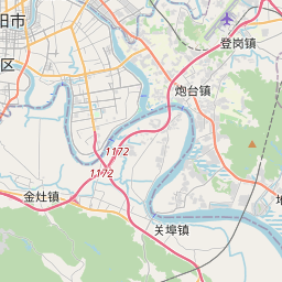
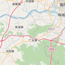
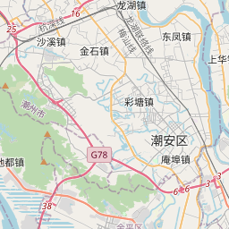
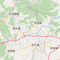
Distance Map Between Anbu and Puning
Anbu, Guangzhou, China ↔ Puning, Guangzhou, China = 34 miles = 54 km.


How far is it between Anbu and Puning
Anbu is located in China with (23.449,116.6809) coordinates and Puning is located in China with (23.3107,116.1687) coordinates. The calculated flying distance from Anbu to Puning is equal to 34 miles which is equal to 54 km.
If you want to go by car, the driving distance between Anbu and Puning is 97.84 km. If you ride your car with an average speed of 112 kilometers/hour (70 miles/h), travel time will be 00 hours 52 minutes. Please check the avg. speed travel time table on the right for various options.
Difference between fly and go by a car is 44 km.
| City/Place | Latitude and Longitude | GPS Coordinates |
|---|---|---|
| Anbu | 23.449, 116.6809 | 23° 26´ 56.2200'' N 116° 40´ 51.3120'' E |
| Puning | 23.3107, 116.1687 | 23° 18´ 38.5920'' N 116° 10´ 7.2840'' E |
Estimated Travel Time Between Anbu and Puning
| Average Speed | Travel Time |
|---|---|
| 30 mph (48 km/h) | 02 hours 02 minutes |
| 40 mph (64 km/h) | 01 hours 31 minutes |
| 50 mph (80 km/h) | 01 hours 13 minutes |
| 60 mph (97 km/h) | 01 hours 00 minutes |
| 70 mph (112 km/h) | 00 hours 52 minutes |
| 75 mph (120 km/h) | 00 hours 48 minutes |
Related Distances from Anbu
| Cities | Distance |
|---|---|
| Anbu to Shenzhen | 343 km |
| Anbu to Shantou | 12 km |
| Anbu to Lecheng | 614 km |
| Anbu to Shilong | 363 km |
| Anbu to Foshan | 447 km |
Related Distances to Puning
| Cities | Distance |
|---|---|
| Hepo to Puning | 67 km |
| Huizhou to Puning | 264 km |
| Zhongshan to Puning | 767 km |
| Foshan to Puning | 401 km |
| Huicheng to Puning | 45 km |