Distance from Angarsk to Zima
Distance between Angarsk and Zima is 197 kilometers (122 miles).
Driving distance from Angarsk to Zima is 220 kilometers (137 miles).
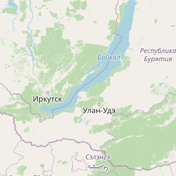
Distance Map Between Angarsk and Zima
Angarsk, Irkutsk, Russia ↔ Zima, Irkutsk, Russia = 122 miles = 197 km.

How far is it between Angarsk and Zima
Angarsk is located in Russia with (52.5367,103.8864) coordinates and Zima is located in Russia with (53.9202,102.0442) coordinates. The calculated flying distance from Angarsk to Zima is equal to 122 miles which is equal to 197 km.
If you want to go by car, the driving distance between Angarsk and Zima is 220.1 km. If you ride your car with an average speed of 112 kilometers/hour (70 miles/h), travel time will be 01 hours 57 minutes. Please check the avg. speed travel time table on the right for various options.
Difference between fly and go by a car is 23 km.
| City/Place | Latitude and Longitude | GPS Coordinates |
|---|---|---|
| Angarsk | 52.5367, 103.8864 | 52° 32´ 12.0120'' N 103° 53´ 11.0040'' E |
| Zima | 53.9202, 102.0442 | 53° 55´ 12.7200'' N 102° 2´ 39.1200'' E |
Estimated Travel Time Between Angarsk and Zima
| Average Speed | Travel Time |
|---|---|
| 30 mph (48 km/h) | 04 hours 35 minutes |
| 40 mph (64 km/h) | 03 hours 26 minutes |
| 50 mph (80 km/h) | 02 hours 45 minutes |
| 60 mph (97 km/h) | 02 hours 16 minutes |
| 70 mph (112 km/h) | 01 hours 57 minutes |
| 75 mph (120 km/h) | 01 hours 50 minutes |
Related Distances from Angarsk
| Cities | Distance |
|---|---|
| Angarsk to Shelekhov | 58 km |
| Angarsk to Ust Kut | 916 km |
| Angarsk to Ust Ilimsk | 835 km |
| Angarsk to Zheleznogorsk Ilimskiy | 801 km |
| Angarsk to Bodaybo | 1476 km |
Related Distances to Zima
| Cities | Distance |
|---|---|
| Ust Kut to Zima | 709 km |
| Tulun to Zima | 140 km |
| Baykal Sk to Zima | 399 km |
| Sayansk to Zima | 27 km |
| Slyudyanka to Zima | 362 km |