Distance from Ans to Wavre
Distance between Ans and Wavre is 65 kilometers (40 miles).
Driving distance from Ans to Wavre is 85 kilometers (53 miles).
Distance Map Between Ans and Wavre
Ans, Namur, Belgium ↔ Wavre, Namur, Belgium = 40 miles = 65 km.

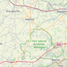

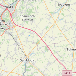
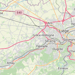

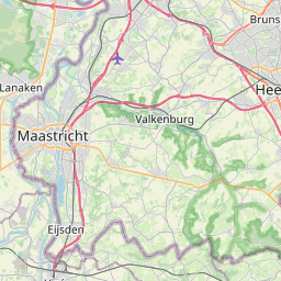
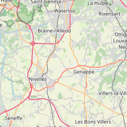
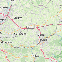

Leaflet | © OpenStreetMap
How far is it between Ans and Wavre
Ans is located in Belgium with (50.6623,5.5203) coordinates and Wavre is located in Belgium with (50.7172,4.6014) coordinates. The calculated flying distance from Ans to Wavre is equal to 40 miles which is equal to 65 km.
If you want to go by car, the driving distance between Ans and Wavre is 85.04 km. If you ride your car with an average speed of 112 kilometers/hour (70 miles/h), travel time will be 00 hours 45 minutes. Please check the avg. speed travel time table on the right for various options.
Difference between fly and go by a car is 20 km.
| City/Place | Latitude and Longitude | GPS Coordinates |
|---|---|---|
| Ans | 50.6623, 5.5203 | 50° 39´ 44.2800'' N 5° 31´ 13.0440'' E |
| Wavre | 50.7172, 4.6014 | 50° 43´ 1.8120'' N 4° 36´ 4.9680'' E |
Estimated Travel Time Between Ans and Wavre
| Average Speed | Travel Time |
|---|---|
| 30 mph (48 km/h) | 01 hours 46 minutes |
| 40 mph (64 km/h) | 01 hours 19 minutes |
| 50 mph (80 km/h) | 01 hours 03 minutes |
| 60 mph (97 km/h) | 00 hours 52 minutes |
| 70 mph (112 km/h) | 00 hours 45 minutes |
| 75 mph (120 km/h) | 00 hours 42 minutes |
Ans, Namur, Belgium
Related Distances from Ans
| Cities | Distance |
|---|---|
| Ans to Ath | 147 km |
| Ans to Liege | 8 km |
| Ans to Huy | 37 km |
| Ans to Mons | 129 km |
| Ans to Tournai | 173 km |
Wavre, Namur, Belgium
Related Distances to Wavre
| Cities | Distance |
|---|---|
| Nivelles to Wavre | 36 km |
| Rixensart to Wavre | 7 km |
| Mons to Wavre | 73 km |
| Charleroi to Wavre | 58 km |
| Liege to Wavre | 86 km |