Distance from Aqsay to Karagandy
Distance between Aqsay and Karagandy is 1430 kilometers (888 miles).
Driving distance from Aqsay to Karagandy is 1924 kilometers (1195 miles).
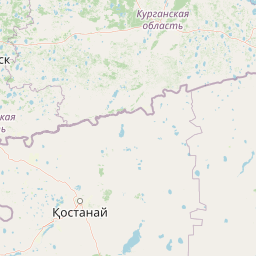
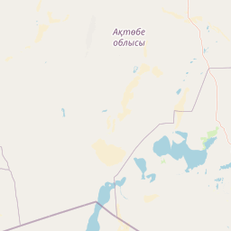
Distance Map Between Aqsay and Karagandy
Aqsay, Oral, Kazakhstan ↔ Karagandy, Kazakhstan = 888 miles = 1430 km.


How far is it between Aqsay and Karagandy
Aqsay is located in Kazakhstan with (51.1681,52.9978) coordinates and Karagandy is located in Kazakhstan with (49.8333,73.1658) coordinates. The calculated flying distance from Aqsay to Karagandy is equal to 888 miles which is equal to 1430 km.
If you want to go by car, the driving distance between Aqsay and Karagandy is 1923.94 km. If you ride your car with an average speed of 112 kilometers/hour (70 miles/h), travel time will be 17 hours 10 minutes. Please check the avg. speed travel time table on the right for various options.
Difference between fly and go by a car is 494 km.
| City/Place | Latitude and Longitude | GPS Coordinates |
|---|---|---|
| Aqsay | 51.1681, 52.9978 | 51° 10´ 5.1600'' N 52° 59´ 52.1520'' E |
| Karagandy | 49.8333, 73.1658 | 49° 49´ 59.9880'' N 73° 9´ 56.8800'' E |
Estimated Travel Time Between Aqsay and Karagandy
| Average Speed | Travel Time |
|---|---|
| 30 mph (48 km/h) | 40 hours 04 minutes |
| 40 mph (64 km/h) | 30 hours 03 minutes |
| 50 mph (80 km/h) | 24 hours 02 minutes |
| 60 mph (97 km/h) | 19 hours 50 minutes |
| 70 mph (112 km/h) | 17 hours 10 minutes |
| 75 mph (120 km/h) | 16 hours 01 minutes |
Related Distances from Aqsay
| Cities | Distance |
|---|---|
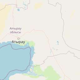
| Aqsay to Atyrau | 651 km |
| Aqsay to Aktau | 1532 km |
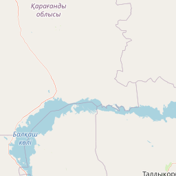
| Aqsay to Karagandy | 1924 km |
| Aqsay to Oral | 148 km |
| Aqsay to Aqtobe | 411 km |
Related Distances to Karagandy
| Cities | Distance |
|---|---|
| Almaty to Karagandy | 1005 km |
| Astana to Karagandy | 218 km |
| Aktau to Karagandy | 2882 km |
| Shymkent to Karagandy | 1409 km |
| Pavlodar to Karagandy | 439 km |