Distance from Aqtobe to Atyrau
Distance between Aqtobe and Atyrau is 525 kilometers (326 miles).
Driving distance from Aqtobe to Atyrau is 611 kilometers (380 miles).
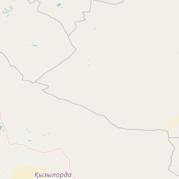
Distance Map Between Aqtobe and Atyrau
Aqtobe, Kazakhstan ↔ Atyrau, Kazakhstan = 326 miles = 525 km.

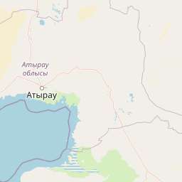


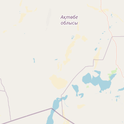


How far is it between Aqtöbe and Atyrau
Aqtobe is located in Kazakhstan with (50.2797,57.2072) coordinates and Atyrau is located in Kazakhstan with (47.1167,51.8833) coordinates. The calculated flying distance from Aqtobe to Atyrau is equal to 326 miles which is equal to 525 km.
If you want to go by car, the driving distance between Aqtobe and Atyrau is 611.28 km. If you ride your car with an average speed of 112 kilometers/hour (70 miles/h), travel time will be 05 hours 27 minutes. Please check the avg. speed travel time table on the right for various options.
Difference between fly and go by a car is 86 km.
| City/Place | Latitude and Longitude | GPS Coordinates |
|---|---|---|
| Aqtobe | 50.2797, 57.2072 | 50° 16´ 46.8840'' N 57° 12´ 25.8480'' E |
| Atyrau | 47.1167, 51.8833 | 47° 7´ 0.0120'' N 51° 52´ 59.9880'' E |
Estimated Travel Time Between Aqtöbe and Atyrau
| Average Speed | Travel Time |
|---|---|
| 30 mph (48 km/h) | 12 hours 44 minutes |
| 40 mph (64 km/h) | 09 hours 33 minutes |
| 50 mph (80 km/h) | 07 hours 38 minutes |
| 60 mph (97 km/h) | 06 hours 18 minutes |
| 70 mph (112 km/h) | 05 hours 27 minutes |
| 75 mph (120 km/h) | 05 hours 05 minutes |
Related Distances from Aqtobe
| Cities | Distance |
|---|---|
| Aqtobe to Atyrau | 611 km |
| Aqtobe to Oral | 481 km |
| Aqtobe to Karagandy | 1692 km |
| Aqtobe to Zhanaozen | 1196 km |
Related Distances to Atyrau
| Cities | Distance |
|---|---|
| Almaty to Atyrau | 2744 km |
| Astana to Atyrau | 2058 km |
| Aktau to Atyrau | 903 km |
| Kostanay to Atyrau | 1379 km |
| Shymkent to Atyrau | 2019 km |