Distance from Arauca to Tunja
Distance between Arauca and Tunja is 336 kilometers (209 miles).
Driving distance from Arauca to Tunja is 478 kilometers (297 miles).
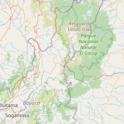
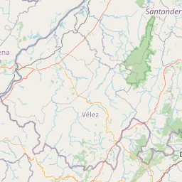
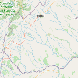
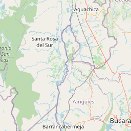
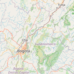
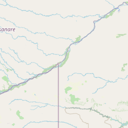
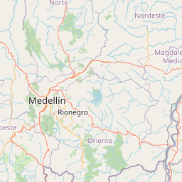
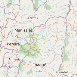
Distance Map Between Arauca and Tunja
Arauca, Colombia ↔ Tunja, Colombia = 209 miles = 336 km.


How far is it between Arauca and Tunja
Arauca is located in Colombia with (7.0847,-70.7591) coordinates and Tunja is located in Colombia with (5.5353,-73.3678) coordinates. The calculated flying distance from Arauca to Tunja is equal to 209 miles which is equal to 336 km.
If you want to go by car, the driving distance between Arauca and Tunja is 477.6 km. If you ride your car with an average speed of 112 kilometers/hour (70 miles/h), travel time will be 04 hours 15 minutes. Please check the avg. speed travel time table on the right for various options.
Difference between fly and go by a car is 142 km.
| City/Place | Latitude and Longitude | GPS Coordinates |
|---|---|---|
| Arauca | 7.0847, -70.7591 | 7° 5´ 4.9560'' N 70° 45´ 32.6880'' W |
| Tunja | 5.5353, -73.3678 | 5° 32´ 7.0080'' N 73° 22´ 4.0080'' W |
Estimated Travel Time Between Arauca and Tunja
| Average Speed | Travel Time |
|---|---|
| 30 mph (48 km/h) | 09 hours 57 minutes |
| 40 mph (64 km/h) | 07 hours 27 minutes |
| 50 mph (80 km/h) | 05 hours 58 minutes |
| 60 mph (97 km/h) | 04 hours 55 minutes |
| 70 mph (112 km/h) | 04 hours 15 minutes |
| 75 mph (120 km/h) | 03 hours 58 minutes |
Related Distances from Arauca
| Cities | Distance |
|---|---|
| Arauca to Cartagena | 1140 km |
| Arauca to Bogota | 623 km |
| Arauca to Cali | 1075 km |
| Arauca to Medellin | 827 km |
| Arauca to Barranquilla | 1020 km |
Related Distances to Tunja
| Cities | Distance |
|---|---|
| Bogota to Tunja | 148 km |
| Medellin to Tunja | 476 km |
| Yopal to Tunja | 219 km |
| Bucaramanga to Tunja | 284 km |
| Neiva to Tunja | 446 km |