Distance from Arcata to Vallejo
Distance between Arcata and Vallejo is 345 kilometers (214 miles).
Driving distance from Arcata to Vallejo is 429 kilometers (267 miles).
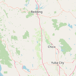
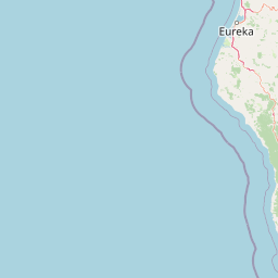
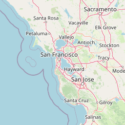
Distance Map Between Arcata and Vallejo
Arcata, Sacramento, United States ↔ Vallejo, Sacramento, United States = 214 miles = 345 km.


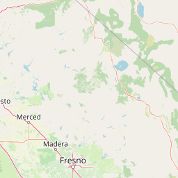


How far is it between Arcata and Vallejo
Arcata is located in United States with (40.8665,-124.0828) coordinates and Vallejo is located in United States with (38.1041,-122.2566) coordinates. The calculated flying distance from Arcata to Vallejo is equal to 214 miles which is equal to 345 km.
If you want to go by car, the driving distance between Arcata and Vallejo is 429.47 km. If you ride your car with an average speed of 112 kilometers/hour (70 miles/h), travel time will be 03 hours 50 minutes. Please check the avg. speed travel time table on the right for various options.
Difference between fly and go by a car is 84 km.
| City/Place | Latitude and Longitude | GPS Coordinates |
|---|---|---|
| Arcata | 40.8665, -124.0828 | 40° 51´ 59.4720'' N 124° 4´ 58.2240'' W |
| Vallejo | 38.1041, -122.2566 | 38° 6´ 14.7240'' N 122° 15´ 23.9040'' W |
Estimated Travel Time Between Arcata and Vallejo
| Average Speed | Travel Time |
|---|---|
| 30 mph (48 km/h) | 08 hours 56 minutes |
| 40 mph (64 km/h) | 06 hours 42 minutes |
| 50 mph (80 km/h) | 05 hours 22 minutes |
| 60 mph (97 km/h) | 04 hours 25 minutes |
| 70 mph (112 km/h) | 03 hours 50 minutes |
| 75 mph (120 km/h) | 03 hours 34 minutes |
Related Distances from Arcata
| Cities | Distance |
|---|---|
| Arcata to San Francisco | 450 km |
| Arcata to Los Angeles | 1103 km |
| Arcata to Vacaville | 466 km |
| Arcata to Oakland | 456 km |
| Arcata to Daly City | 455 km |
Related Distances to Vallejo
| Cities | Distance |
|---|---|
| Walnut Creek to Vallejo | 33 km |
| Redding to Vallejo | 301 km |
| West Sacramento to Vallejo | 89 km |
| Yuba City to Vallejo | 155 km |
| Eureka to Vallejo | 416 km |