Distance from Ardabil to Semnan
Distance between Ardabil and Semnan is 542 kilometers (337 miles).
Driving distance from Ardabil to Semnan is 812 kilometers (504 miles).
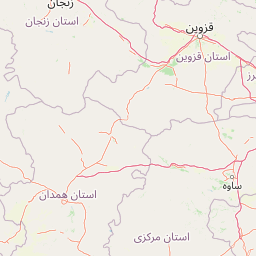
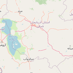
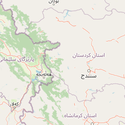
Distance Map Between Ardabil and Semnan
Ardabil, Iran ↔ Semnan, Iran = 337 miles = 542 km.


How far is it between Ardabīl and Semnān
Ardabil is located in Iran with (38.2498,48.2933) coordinates and Semnan is located in Iran with (35.5769,53.3921) coordinates. The calculated flying distance from Ardabil to Semnan is equal to 337 miles which is equal to 542 km.
If you want to go by car, the driving distance between Ardabil and Semnan is 811.75 km. If you ride your car with an average speed of 112 kilometers/hour (70 miles/h), travel time will be 07 hours 14 minutes. Please check the avg. speed travel time table on the right for various options.
Difference between fly and go by a car is 270 km.
| City/Place | Latitude and Longitude | GPS Coordinates |
|---|---|---|
| Ardabil | 38.2498, 48.2933 | 38° 14´ 59.2800'' N 48° 17´ 35.8800'' E |
| Semnan | 35.5769, 53.3921 | 35° 34´ 36.8760'' N 53° 23´ 31.3800'' E |
Estimated Travel Time Between Ardabīl and Semnān
| Average Speed | Travel Time |
|---|---|
| 30 mph (48 km/h) | 16 hours 54 minutes |
| 40 mph (64 km/h) | 12 hours 41 minutes |
| 50 mph (80 km/h) | 10 hours 08 minutes |
| 60 mph (97 km/h) | 08 hours 22 minutes |
| 70 mph (112 km/h) | 07 hours 14 minutes |
| 75 mph (120 km/h) | 06 hours 45 minutes |
Related Distances from Ardabil
| Cities | Distance |
|---|---|
| Ardabil to Tehran | 594 km |
| Ardabil to Tabriz | 213 km |
| Ardabil to Rasht | 254 km |
| Ardabil to Bandar Abbas | 1859 km |
| Ardabil to Mashhad | 1485 km |
Related Distances to Semnan
| Cities | Distance |
|---|---|
| Mashhad to Semnan | 670 km |
| Sari to Semnan | 177 km |
| Bandar Abbas to Semnan | 1260 km |
| Isfahan to Semnan | 574 km |
| Bojnurd to Semnan | 503 km |