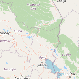
Distance from Arequipa to Astorga
Distance between Arequipa and Astorga is 2210 kilometers (1373 miles).
Driving distance from Arequipa to Astorga is 3111 kilometers (1933 miles).
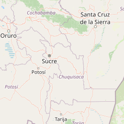
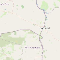
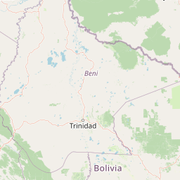
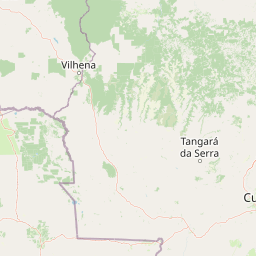
Distance Map Between Arequipa and Astorga
Arequipa, Peru ↔ Astorga, Curitiba, Brazil = 1373 miles = 2210 km.

How far is it between Arequipa and Astorga
Arequipa is located in Peru with (-16.3989,-71.535) coordinates and Astorga is located in Brazil with (-23.2325,-51.6656) coordinates. The calculated flying distance from Arequipa to Astorga is equal to 1373 miles which is equal to 2210 km.
If you want to go by car, the driving distance between Arequipa and Astorga is 3111.48 km. If you ride your car with an average speed of 112 kilometers/hour (70 miles/h), travel time will be 27 hours 46 minutes. Please check the avg. speed travel time table on the right for various options.
Difference between fly and go by a car is 901 km.
| City/Place | Latitude and Longitude | GPS Coordinates |
|---|---|---|
| Arequipa | -16.3989, -71.535 | 16° 23´ 56.0040'' S 71° 32´ 6.0000'' W |
| Astorga | -23.2325, -51.6656 | 23° 13´ 57.0000'' S 51° 39´ 56.0160'' W |
Estimated Travel Time Between Arequipa and Astorga
| Average Speed | Travel Time |
|---|---|
| 30 mph (48 km/h) | 64 hours 49 minutes |
| 40 mph (64 km/h) | 48 hours 37 minutes |
| 50 mph (80 km/h) | 38 hours 53 minutes |
| 60 mph (97 km/h) | 32 hours 04 minutes |
| 70 mph (112 km/h) | 27 hours 46 minutes |
| 75 mph (120 km/h) | 25 hours 55 minutes |
Related Distances from Arequipa
| Cities | Distance |
|---|---|
| Arequipa to Alegrete | 2970 km |
| Arequipa to Altamira | 3571 km |
| Arequipa to Anastacio | 2290 km |
| Arequipa to Aragarcas | 3310 km |
| Arequipa to Aripuana | 2340 km |
| Arequipa to Ariquemes | 2030 km |
| Arequipa to Arroio Do Meio | 3349 km |
| Arequipa to Astorga | 3111 km |
| Arequipa to Bage | 3208 km |
| Arequipa to Barra Do Bugres | 2289 km |