Distance from Armilla to Rota
Distance between Armilla and Rota is 251 kilometers (156 miles).
Driving distance from Armilla to Rota is 301 kilometers (187 miles).
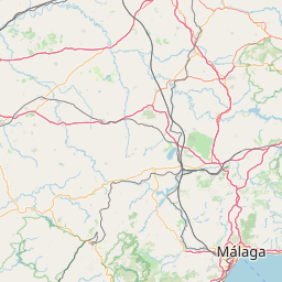
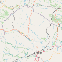
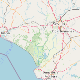
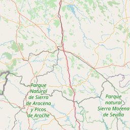
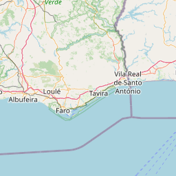
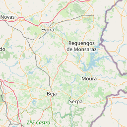
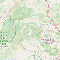
Distance Map Between Armilla and Rota
Armilla, Sevilla, Spain ↔ Rota, Sevilla, Spain = 156 miles = 251 km.


How far is it between Armilla and Rota
Armilla is located in Spain with (37.141,-3.6185) coordinates and Rota is located in Spain with (36.6255,-6.3622) coordinates. The calculated flying distance from Armilla to Rota is equal to 156 miles which is equal to 251 km.
If you want to go by car, the driving distance between Armilla and Rota is 300.97 km. If you ride your car with an average speed of 112 kilometers/hour (70 miles/h), travel time will be 02 hours 41 minutes. Please check the avg. speed travel time table on the right for various options.
Difference between fly and go by a car is 50 km.
| City/Place | Latitude and Longitude | GPS Coordinates |
|---|---|---|
| Armilla | 37.141, -3.6185 | 37° 8´ 27.6720'' N 3° 37´ 6.7440'' W |
| Rota | 36.6255, -6.3622 | 36° 37´ 31.6200'' N 6° 21´ 43.9200'' W |
Estimated Travel Time Between Armilla and Rota
| Average Speed | Travel Time |
|---|---|
| 30 mph (48 km/h) | 06 hours 16 minutes |
| 40 mph (64 km/h) | 04 hours 42 minutes |
| 50 mph (80 km/h) | 03 hours 45 minutes |
| 60 mph (97 km/h) | 03 hours 06 minutes |
| 70 mph (112 km/h) | 02 hours 41 minutes |
| 75 mph (120 km/h) | 02 hours 30 minutes |
Related Distances from Armilla
| Cities | Distance |
|---|---|
| Armilla to Granada | 7 km |
| Armilla to Baza | 112 km |
| Armilla to Malaga | 137 km |
| Armilla to Marbella | 182 km |
| Armilla to Roquetas De Mar | 149 km |
Related Distances to Rota
| Cities | Distance |
|---|---|
| Malaga to Rota | 256 km |
| Cadiz 2 to Rota | 48 km |
| Moron De La Frontera to Rota | 131 km |
| Jerez De La Frontera to Rota | 32 km |
| Ronda to Rota | 149 km |