Distance from Arua to Pointe-Noire
Distance between Arua and Pointe-Noire is 2287 kilometers (1421 miles).
Driving distance from Arua to Pointe-Noire is 4062 kilometers (2524 miles).
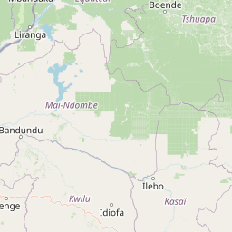
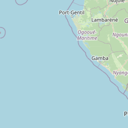
Distance Map Between Arua and Pointe-Noire
Arua, Gulu, Uganda ↔ Pointe-Noire, Republic of the Congo = 1421 miles = 2287 km.


How far is it between Arua and Pointe-Noire
Arua is located in Uganda with (3.0201,30.9111) coordinates and Pointe-Noire is located in Republic of the Congo with (-4.7761,11.8635) coordinates. The calculated flying distance from Arua to Pointe-Noire is equal to 1421 miles which is equal to 2287 km.
If you want to go by car, the driving distance between Arua and Pointe-Noire is 4061.86 km. If you ride your car with an average speed of 112 kilometers/hour (70 miles/h), travel time will be 36 hours 15 minutes. Please check the avg. speed travel time table on the right for various options.
Difference between fly and go by a car is 1775 km.
| City/Place | Latitude and Longitude | GPS Coordinates |
|---|---|---|
| Arua | 3.0201, 30.9111 | 3° 1´ 12.4680'' N 30° 54´ 39.7800'' E |
| Pointe-Noire | -4.7761, 11.8635 | 4° 46´ 33.9240'' S 11° 51´ 48.6720'' E |
Estimated Travel Time Between Arua and Pointe-Noire
| Average Speed | Travel Time |
|---|---|
| 30 mph (48 km/h) | 84 hours 37 minutes |
| 40 mph (64 km/h) | 63 hours 27 minutes |
| 50 mph (80 km/h) | 50 hours 46 minutes |
| 60 mph (97 km/h) | 41 hours 52 minutes |
| 70 mph (112 km/h) | 36 hours 15 minutes |
| 75 mph (120 km/h) | 33 hours 50 minutes |
Related Distances from Arua
| Cities | Distance |
|---|---|
| Arua to Pointe Noire | 4062 km |
| Arua to Brazzaville | 3405 km |
Related Distances to Pointe-Noire
| Cities | Distance |
|---|---|
| Nebbi to Pointe Noire | 4042 km |
| Mbarara to Pointe Noire | 3514 km |
| Arua to Pointe Noire | 4062 km |
| Mubende to Pointe Noire | 3496 km |
| Kasese to Pointe Noire | 3373 km |