Distance from Asandh to Panipat
Distance between Asandh and Panipat is 38 kilometers (24 miles).
Driving distance from Asandh to Panipat is 47 kilometers (29 miles).
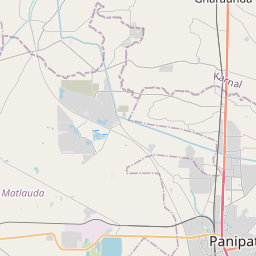
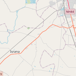
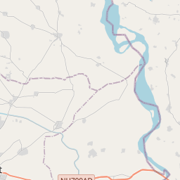
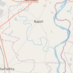
Distance Map Between Asandh and Panipat
Asandh, , India ↔ Panipat, , India = 24 miles = 38 km.


How far is it between Asandh and Pānīpat
Asandh is located in India with (29.5217,76.6042) coordinates and Panipat is located in India with (29.3901,76.9695) coordinates. The calculated flying distance from Asandh to Panipat is equal to 24 miles which is equal to 38 km.
If you want to go by car, the driving distance between Asandh and Panipat is 47.25 km. If you ride your car with an average speed of 112 kilometers/hour (70 miles/h), travel time will be 00 hours 25 minutes. Please check the avg. speed travel time table on the right for various options.
Difference between fly and go by a car is 9 km.
| City/Place | Latitude and Longitude | GPS Coordinates |
|---|---|---|
| Asandh | 29.5217, 76.6042 | 29° 31´ 18.2280'' N 76° 36´ 15.0840'' E |
| Panipat | 29.3901, 76.9695 | 29° 23´ 24.1800'' N 76° 58´ 10.1640'' E |
Estimated Travel Time Between Asandh and Pānīpat
| Average Speed | Travel Time |
|---|---|
| 30 mph (48 km/h) | 00 hours 59 minutes |
| 40 mph (64 km/h) | 00 hours 44 minutes |
| 50 mph (80 km/h) | 00 hours 35 minutes |
| 60 mph (97 km/h) | 00 hours 29 minutes |
| 70 mph (112 km/h) | 00 hours 25 minutes |
| 75 mph (120 km/h) | 00 hours 23 minutes |
Related Distances from Asandh
| Cities | Distance |
|---|---|
| Asandh to Kaithal | 41 km |
| Asandh to Jind | 43 km |
| Asandh to Bahadurgarh | 126 km |
| Asandh to Karnal | 45 km |
| Asandh to Panipat | 47 km |
Related Distances to Panipat
| Cities | Distance |
|---|---|
| Gohana to Panipat | 42 km |
| Indri to Panipat | 60 km |
| Gurgaon to Panipat | 120 km |
| Ladwa to Panipat | 72 km |
| Barwala to Panipat | 112 km |