Distance from Ashburton to Taree
Distance between Ashburton and Taree is 2144 kilometers (1332 miles).
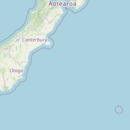
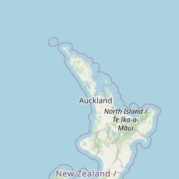
Distance Map Between Ashburton and Taree
Ashburton, Christchurch, New Zealand ↔ Taree, Sydney, Australia = 1332 miles = 2144 km.


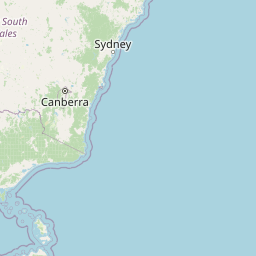


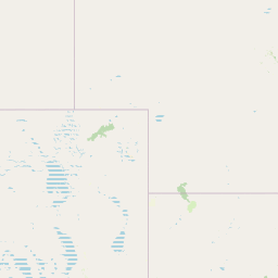


Leaflet | © OpenStreetMap
How far is it between Ashburton and Taree
Ashburton is located in New Zealand with (-43.8983,171.7301) coordinates and Taree is located in Australia with (-31.911,152.4539) coordinates. The calculated flying distance from Ashburton to Taree is equal to 1332 miles which is equal to 2144 km.
| City/Place | Latitude and Longitude | GPS Coordinates |
|---|---|---|
| Ashburton | -43.8983, 171.7301 | 43° 53´ 54.0240'' S 171° 43´ 48.3960'' E |
| Taree | -31.911, 152.4539 | 31° 54´ 39.5640'' S 152° 27´ 13.9320'' E |
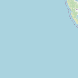
Ashburton, Christchurch, New Zealand
Related Distances from Ashburton
| Cities | Distance |
|---|---|
| Ashburton to Timaru | 78 km |
Taree, Sydney, Australia
Related Distances to Taree
| Cities | Distance |
|---|---|
| Port Macquarie to Taree | 85 km |
| Forster to Taree | 36 km |
| Newcastle 2 to Taree | 170 km |
| Coffs Harbour to Taree | 230 km |
| Orange 2 to Taree | 529 km |