Distance from Ashgabat to Almaty
Distance between Ashgabat and Almaty is 1669 kilometers (1037 miles).
Driving distance from Ashgabat to Almaty is 2171 kilometers (1349 miles).
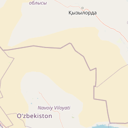
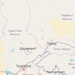
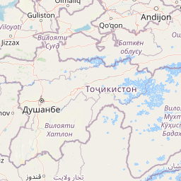
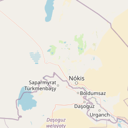
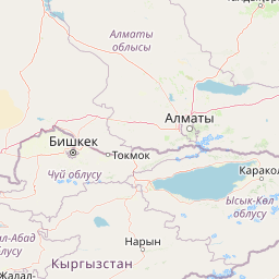
Distance Map Between Ashgabat and Almaty
Ashgabat, Turkmenistan ↔ Almaty, Kazakhstan = 1037 miles = 1669 km.


How far is it between Ashgabat and Almaty
Ashgabat is located in Turkmenistan with (37.95,58.3833) coordinates and Almaty is located in Kazakhstan with (43.2565,76.9285) coordinates. The calculated flying distance from Ashgabat to Almaty is equal to 1037 miles which is equal to 1669 km.
If you want to go by car, the driving distance between Ashgabat and Almaty is 2171.25 km. If you ride your car with an average speed of 112 kilometers/hour (70 miles/h), travel time will be 19 hours 23 minutes. Please check the avg. speed travel time table on the right for various options.
Difference between fly and go by a car is 502 km.
| City/Place | Latitude and Longitude | GPS Coordinates |
|---|---|---|
| Ashgabat | 37.95, 58.3833 | 37° 57´ 0.0000'' N 58° 22´ 59.9880'' E |
| Almaty | 43.2565, 76.9285 | 43° 15´ 23.5440'' N 76° 55´ 42.5280'' E |
Estimated Travel Time Between Ashgabat and Almaty
| Average Speed | Travel Time |
|---|---|
| 30 mph (48 km/h) | 45 hours 14 minutes |
| 40 mph (64 km/h) | 33 hours 55 minutes |
| 50 mph (80 km/h) | 27 hours 08 minutes |
| 60 mph (97 km/h) | 22 hours 23 minutes |
| 70 mph (112 km/h) | 19 hours 23 minutes |
| 75 mph (120 km/h) | 18 hours 05 minutes |
Related Distances from Ashgabat
| Cities | Distance |
|---|---|
| Ashgabat to Abay | 2745 km |
| Ashgabat to Aksu | 3206 km |
| Ashgabat to Almaty | 2171 km |
| Ashgabat to Arkalyk | 2581 km |
| Ashgabat to Astana | 2931 km |
| Ashgabat to Atbasar | 2860 km |
| Ashgabat to Dzhetygara | 2433 km |
| Ashgabat to Karagandy | 2782 km |
| Ashgabat to Lisakovsk | 2843 km |
| Ashgabat to Makinsk | 3049 km |
Related Distances to Almaty
| Cities | Distance |
|---|---|
| Ashgabat to Almaty | 2171 km |
| Mary to Almaty | 1831 km |
| Bayramaly to Almaty | 1827 km |
| Gazojak to Almaty | 1825 km |
| Dasoguz to Almaty | 1955 km |
| Gowurdak to Almaty | 1630 km |
| Seydi to Almaty | 1701 km |
| Baharly to Almaty | 2351 km |
| Tagta to Almaty | 2015 km |
| Sayat to Almaty | 1692 km |