Distance from Ashgabat to Moga
Distance between Ashgabat and Moga is 1729 kilometers (1075 miles).
Distance Map Between Ashgabat and Moga
Ashgabat, Turkmenistan ↔ Moga, , India = 1075 miles = 1729 km.


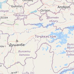


Leaflet | © OpenStreetMap
How far is it between Ashgabat and Moga
Ashgabat is located in Turkmenistan with (37.95,58.3833) coordinates and Moga is located in India with (30.8157,75.1742) coordinates. The calculated flying distance from Ashgabat to Moga is equal to 1075 miles which is equal to 1729 km.
| City/Place | Latitude and Longitude | GPS Coordinates |
|---|---|---|
| Ashgabat | 37.95, 58.3833 | 37° 57´ 0.0000'' N 58° 22´ 59.9880'' E |
| Moga | 30.8157, 75.1742 | 30° 48´ 56.5560'' N 75° 10´ 27.0840'' E |
Ashgabat, Turkmenistan
Related Distances from Ashgabat
| Cities | Distance |
|---|---|
| Ashgabat to Kota | 5916 km |
| Ashgabat to Bamor Kalan | 5704 km |
| Ashgabat to Ludhiana | 5965 km |
Moga, , India
Related Distances to Moga
| Cities | Distance |
|---|---|
| Bagha Purana to Moga | 19 km |
| Zira to Moga | 25 km |
| Jagraon to Moga | 34 km |
| Jalandhar to Moga | 79 km |
| Ludhiana to Moga | 71 km |