Distance from Asse to Oudenaarde
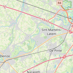
Distance between Asse and Oudenaarde is 42 kilometers (26 miles).
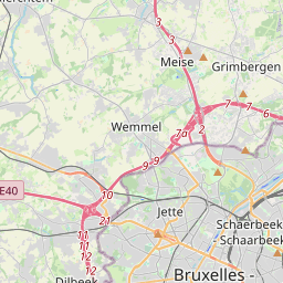
Driving distance from Asse to Oudenaarde is 63 kilometers (39 miles).
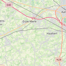
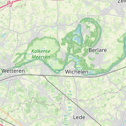
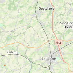
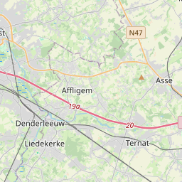
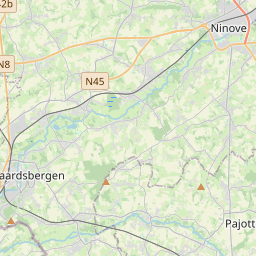
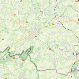
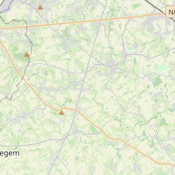
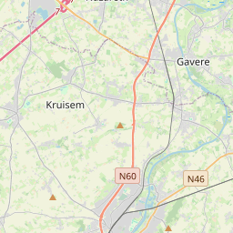
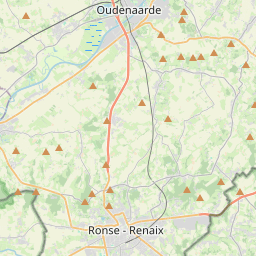
Distance Map Between Asse and Oudenaarde
Asse, , Belgium ↔ Oudenaarde, , Belgium = 26 miles = 42 km.

How far is it between Asse and Oudenaarde
Asse is located in Belgium with (50.9101,4.1984) coordinates and Oudenaarde is located in Belgium with (50.8517,3.6089) coordinates. The calculated flying distance from Asse to Oudenaarde is equal to 26 miles which is equal to 42 km.
If you want to go by car, the driving distance between Asse and Oudenaarde is 62.54 km. If you ride your car with an average speed of 112 kilometers/hour (70 miles/h), travel time will be 00 hours 33 minutes. Please check the avg. speed travel time table on the right for various options.
Difference between fly and go by a car is 21 km.
| City/Place | Latitude and Longitude | GPS Coordinates |
|---|---|---|
| Asse | 50.9101, 4.1984 | 50° 54´ 36.3960'' N 4° 11´ 54.0960'' E |
| Oudenaarde | 50.8517, 3.6089 | 50° 51´ 6.0480'' N 3° 36´ 32.0760'' E |
Estimated Travel Time Between Asse and Oudenaarde
| Average Speed | Travel Time |
|---|---|
| 30 mph (48 km/h) | 01 hours 18 minutes |
| 40 mph (64 km/h) | 00 hours 58 minutes |
| 50 mph (80 km/h) | 00 hours 46 minutes |
| 60 mph (97 km/h) | 00 hours 38 minutes |
| 70 mph (112 km/h) | 00 hours 33 minutes |
| 75 mph (120 km/h) | 00 hours 31 minutes |
Related Distances from Asse
| Cities | Distance |
|---|---|
| Asse to Leuven | 45 km |
| Asse to Peer | 113 km |
| Asse to Mechelen | 37 km |
| Asse to Beersel | 23 km |
| Asse to Sint Niklaas | 35 km |
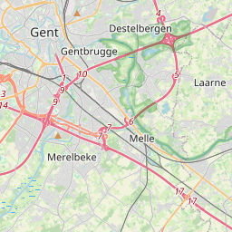
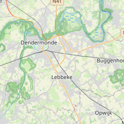
Related Distances to Oudenaarde
| Cities | Distance |
|---|---|
| Gent to Oudenaarde | 28 km |
| Lille 2 to Oudenaarde | 113 km |
| Lebbeke to Oudenaarde | 63 km |
| Mechelen to Oudenaarde | 99 km |
| Brugge to Oudenaarde | 74 km |