Distance from Astana to Mashhad
Distance between Astana and Mashhad is 1903 kilometers (1182 miles).
Driving distance from Astana to Mashhad is 2819 kilometers (1752 miles).
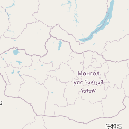
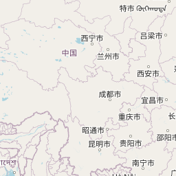
Distance Map Between Astana and Mashhad
Astana, Kazakhstan ↔ Mashhad, Iran = 1182 miles = 1903 km.


How far is it between Astana and Mashhad
Astana is located in Kazakhstan with (51.1801,71.446) coordinates and Mashhad is located in Iran with (36.3156,59.568) coordinates. The calculated flying distance from Astana to Mashhad is equal to 1182 miles which is equal to 1903 km.
If you want to go by car, the driving distance between Astana and Mashhad is 2819.08 km. If you ride your car with an average speed of 112 kilometers/hour (70 miles/h), travel time will be 25 hours 10 minutes. Please check the avg. speed travel time table on the right for various options.
Difference between fly and go by a car is 916 km.
| City/Place | Latitude and Longitude | GPS Coordinates |
|---|---|---|
| Astana | 51.1801, 71.446 | 51° 10´ 48.3600'' N 71° 26´ 45.5280'' E |
| Mashhad | 36.3156, 59.568 | 36° 18´ 56.1240'' N 59° 34´ 4.6560'' E |
Estimated Travel Time Between Astana and Mashhad
| Average Speed | Travel Time |
|---|---|
| 30 mph (48 km/h) | 58 hours 43 minutes |
| 40 mph (64 km/h) | 44 hours 02 minutes |
| 50 mph (80 km/h) | 35 hours 14 minutes |
| 60 mph (97 km/h) | 29 hours 03 minutes |
| 70 mph (112 km/h) | 25 hours 10 minutes |
| 75 mph (120 km/h) | 23 hours 29 minutes |
Related Distances to Mashhad
| Cities | Distance |
|---|---|
| Almaty to Mashhad | 2181 km |
| Shymkent to Mashhad | 1456 km |
| Aktau to Mashhad | 1405 km |
| Turkestan to Mashhad | 1558 km |
| Khromtau to Mashhad | 2136 km |