Distance from Ath to Manage
Distance between Ath and Manage is 35 kilometers (22 miles).
Driving distance from Ath to Manage is 44 kilometers (27 miles).
Distance Map Between Ath and Manage
Ath, Namur, Belgium ↔ Manage, Namur, Belgium = 22 miles = 35 km.
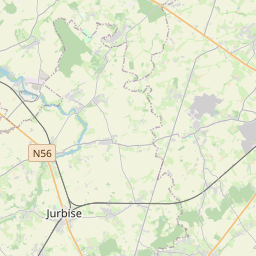
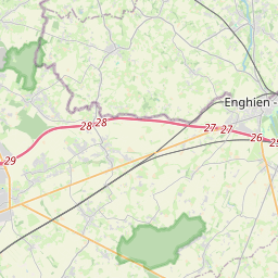
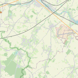
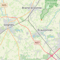
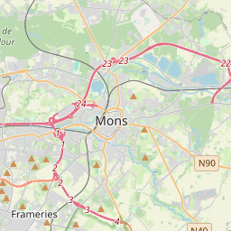
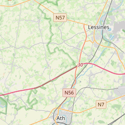
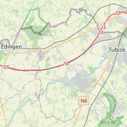
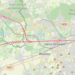
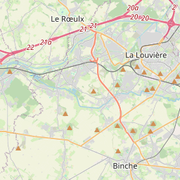
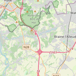
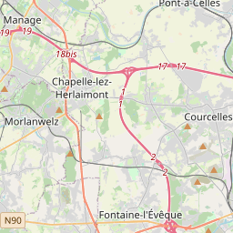

Leaflet | © OpenStreetMap
How far is it between Ath and Manage
Ath is located in Belgium with (50.6294,3.778) coordinates and Manage is located in Belgium with (50.5031,4.2359) coordinates. The calculated flying distance from Ath to Manage is equal to 22 miles which is equal to 35 km.
If you want to go by car, the driving distance between Ath and Manage is 43.93 km. If you ride your car with an average speed of 112 kilometers/hour (70 miles/h), travel time will be 00 hours 23 minutes. Please check the avg. speed travel time table on the right for various options.
Difference between fly and go by a car is 9 km.
| City/Place | Latitude and Longitude | GPS Coordinates |
|---|---|---|
| Ath | 50.6294, 3.778 | 50° 37´ 45.7320'' N 3° 46´ 40.8360'' E |
| Manage | 50.5031, 4.2359 | 50° 30´ 11.2320'' N 4° 14´ 9.2040'' E |
Estimated Travel Time Between Ath and Manage
| Average Speed | Travel Time |
|---|---|
| 30 mph (48 km/h) | 00 hours 54 minutes |
| 40 mph (64 km/h) | 00 hours 41 minutes |
| 50 mph (80 km/h) | 00 hours 32 minutes |
| 60 mph (97 km/h) | 00 hours 27 minutes |
| 70 mph (112 km/h) | 00 hours 23 minutes |
| 75 mph (120 km/h) | 00 hours 21 minutes |
Ath, Namur, Belgium
Related Distances from Ath
| Cities | Distance |
|---|---|
| Ath to Mons | 26 km |
| Ath to Liege | 145 km |
| Ath to Colfontaine | 37 km |
| Ath to Louvain La Neuve | 85 km |
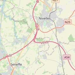
| Ath to Nivelles | 61 km |
Manage, Namur, Belgium
Related Distances to Manage
| Cities | Distance |
|---|---|
| Louvain La Neuve to Manage | 43 km |
| Huy to Manage | 76 km |
| Ath to Manage | 44 km |
| Binche to Manage | 19 km |
| Charleroi to Manage | 23 km |