Distance from Athni to Al Ain
Distance between Athni and Al Ain is 2173 kilometers (1350 miles).
Distance Map Between Athni and Al Ain
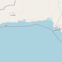
Athni, Bangalore, India ↔ Al Ain, Abu Dhabi, United Arab Emirates = 1350 miles = 2173 km.


Leaflet | © OpenStreetMap
How far is it between Athni and Al Ain
Athni is located in India with (16.7261,75.0642) coordinates and Al Ain is located in United Arab Emirates with (24.1917,55.7606) coordinates. The calculated flying distance from Athni to Al Ain is equal to 1350 miles which is equal to 2173 km.
| City/Place | Latitude and Longitude | GPS Coordinates |
|---|---|---|
| Athni | 16.7261, 75.0642 | 16° 43´ 34.0680'' N 75° 3´ 51.1560'' E |
| Al Ain | 24.1917, 55.7606 | 24° 11´ 30.0120'' N 55° 45´ 38.0160'' E |
Athni, Bangalore, India
Related Distances from Athni
| Cities | Distance |
|---|---|
| Athni to Hubli | 235 km |
| Athni to Bijapur | 75 km |
| Athni to Hassan | 588 km |
| Athni to Shimoga | 440 km |
| Athni to Bhadravati | 456 km |
Al Ain, Abu Dhabi, United Arab Emirates
Related Distances to Al Ain
| Cities | Distance |
|---|---|
| Madgaon to Al Ain | 10224 km |
| Kalghatgi to Al Ain | 10210 km |