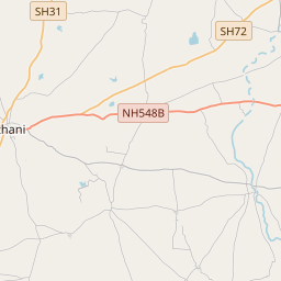
Distance from Athni to Bijapur
Distance between Athni and Bijapur is 70 kilometers (44 miles).
Driving distance from Athni to Bijapur is 75 kilometers (46 miles).
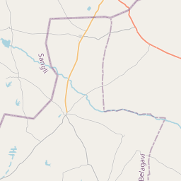
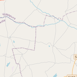
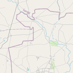
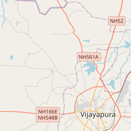
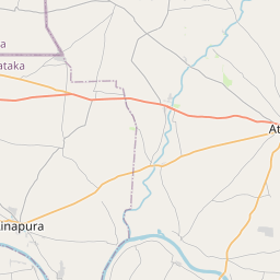
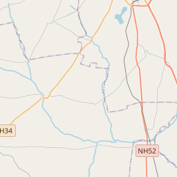
Distance Map Between Athni and Bijapur
Athni, Bangalore, India ↔ Bijapur, Bangalore, India = 44 miles = 70 km.

How far is it between Athni and Bijapur
Athni is located in India with (16.7261,75.0642) coordinates and Bijapur is located in India with (16.8244,75.7154) coordinates. The calculated flying distance from Athni to Bijapur is equal to 44 miles which is equal to 70 km.
If you want to go by car, the driving distance between Athni and Bijapur is 74.59 km. If you ride your car with an average speed of 112 kilometers/hour (70 miles/h), travel time will be 00 hours 39 minutes. Please check the avg. speed travel time table on the right for various options.
Difference between fly and go by a car is 5 km.
| City/Place | Latitude and Longitude | GPS Coordinates |
|---|---|---|
| Athni | 16.7261, 75.0642 | 16° 43´ 34.0680'' N 75° 3´ 51.1560'' E |
| Bijapur | 16.8244, 75.7154 | 16° 49´ 27.9120'' N 75° 42´ 55.3320'' E |
Estimated Travel Time Between Athni and Bijapur
| Average Speed | Travel Time |
|---|---|
| 30 mph (48 km/h) | 01 hours 33 minutes |
| 40 mph (64 km/h) | 01 hours 09 minutes |
| 50 mph (80 km/h) | 00 hours 55 minutes |
| 60 mph (97 km/h) | 00 hours 46 minutes |
| 70 mph (112 km/h) | 00 hours 39 minutes |
| 75 mph (120 km/h) | 00 hours 37 minutes |
Related Distances from Athni
| Cities | Distance |
|---|---|
| Athni to Hubli | 235 km |
| Athni to Bijapur | 75 km |
| Athni to Hassan | 588 km |
| Athni to Shimoga | 440 km |
| Athni to Bhadravati | 456 km |
Related Distances to Bijapur
| Cities | Distance |
|---|---|
| Vijayapura to Bijapur | 536 km |
| Afzalpur to Bijapur | 101 km |
| Basavana Bagevadi to Bijapur | 42 km |
| Belgaum to Bijapur | 211 km |
| Aland to Bijapur | 159 km |