Distance from Athni to Jamkhandi
Distance between Athni and Jamkhandi is 35 kilometers (21 miles).
Driving distance from Athni to Jamkhandi is 43 kilometers (26 miles).
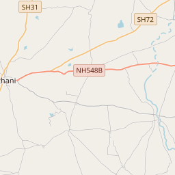
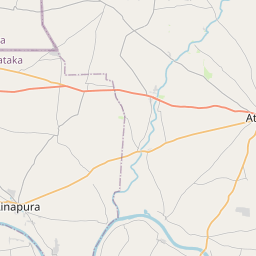
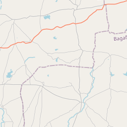
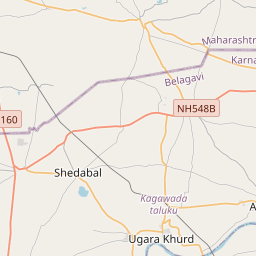
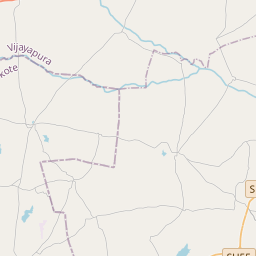
Distance Map Between Athni and Jamkhandi
Athni, Bangalore, India ↔ Jamkhandi, Bangalore, India = 21 miles = 35 km.


How far is it between Athni and Jamkhandi
Athni is located in India with (16.7261,75.0642) coordinates and Jamkhandi is located in India with (16.5046,75.2915) coordinates. The calculated flying distance from Athni to Jamkhandi is equal to 21 miles which is equal to 35 km.
If you want to go by car, the driving distance between Athni and Jamkhandi is 42.59 km. If you ride your car with an average speed of 112 kilometers/hour (70 miles/h), travel time will be 00 hours 22 minutes. Please check the avg. speed travel time table on the right for various options.
Difference between fly and go by a car is 8 km.
| City/Place | Latitude and Longitude | GPS Coordinates |
|---|---|---|
| Athni | 16.7261, 75.0642 | 16° 43´ 34.0680'' N 75° 3´ 51.1560'' E |
| Jamkhandi | 16.5046, 75.2915 | 16° 30´ 16.5960'' N 75° 17´ 29.2560'' E |
Estimated Travel Time Between Athni and Jamkhandi
| Average Speed | Travel Time |
|---|---|
| 30 mph (48 km/h) | 00 hours 53 minutes |
| 40 mph (64 km/h) | 00 hours 39 minutes |
| 50 mph (80 km/h) | 00 hours 31 minutes |
| 60 mph (97 km/h) | 00 hours 26 minutes |
| 70 mph (112 km/h) | 00 hours 22 minutes |
| 75 mph (120 km/h) | 00 hours 21 minutes |
Related Distances from Athni
| Cities | Distance |
|---|---|
| Athni to Hubli | 235 km |
| Athni to Bijapur | 75 km |
| Athni to Hassan | 588 km |
| Athni to Shimoga | 440 km |
| Athni to Bhadravati | 456 km |
Related Distances to Jamkhandi
| Cities | Distance |
|---|---|
| Bijapur to Jamkhandi | 65 km |
| Bagalkot to Jamkhandi | 80 km |
| Gokak to Jamkhandi | 83 km |
| Chikodi to Jamkhandi | 91 km |
| Belgaum to Jamkhandi | 148 km |