Distance from Babahoyo to Puyo
Distance between Babahoyo and Puyo is 174 kilometers (108 miles).
Driving distance from Babahoyo to Puyo is 289 kilometers (179 miles).
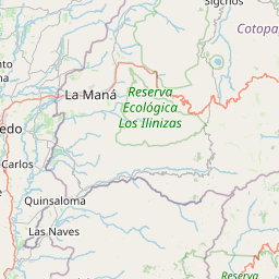
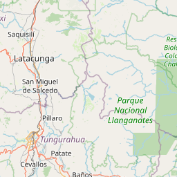
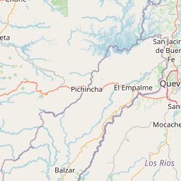
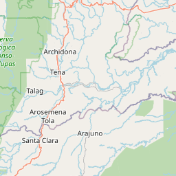
Distance Map Between Babahoyo and Puyo
Babahoyo, Ecuador ↔ Puyo, Ecuador = 108 miles = 174 km.


How far is it between Babahoyo and Puyo
Babahoyo is located in Ecuador with (-1.8022,-79.5344) coordinates and Puyo is located in Ecuador with (-1.4837,-78.0026) coordinates. The calculated flying distance from Babahoyo to Puyo is equal to 108 miles which is equal to 174 km.
If you want to go by car, the driving distance between Babahoyo and Puyo is 288.71 km. If you ride your car with an average speed of 112 kilometers/hour (70 miles/h), travel time will be 02 hours 34 minutes. Please check the avg. speed travel time table on the right for various options.
Difference between fly and go by a car is 115 km.
| City/Place | Latitude and Longitude | GPS Coordinates |
|---|---|---|
| Babahoyo | -1.8022, -79.5344 | 1° 48´ 7.8120'' S 79° 32´ 3.9480'' W |
| Puyo | -1.4837, -78.0026 | 1° 29´ 1.2840'' S 78° 0´ 9.2520'' W |
Estimated Travel Time Between Babahoyo and Puyo
| Average Speed | Travel Time |
|---|---|
| 30 mph (48 km/h) | 06 hours 00 minutes |
| 40 mph (64 km/h) | 04 hours 30 minutes |
| 50 mph (80 km/h) | 03 hours 36 minutes |
| 60 mph (97 km/h) | 02 hours 58 minutes |
| 70 mph (112 km/h) | 02 hours 34 minutes |
| 75 mph (120 km/h) | 02 hours 24 minutes |
Related Distances from Babahoyo
| Cities | Distance |
|---|---|
| Babahoyo to Guayaquil | 75 km |
| Babahoyo to Quito | 331 km |
| Babahoyo to Santa Elena | 200 km |
| Babahoyo to Tulcan | 587 km |
| Babahoyo to Cuenca | 219 km |
Related Distances to Puyo
| Cities | Distance |
|---|---|
| Cuenca to Puyo | 328 km |
| Guayaquil to Puyo | 352 km |
| Ambato to Puyo | 100 km |
| Macas to Puyo | 126 km |
| Latacunga to Puyo | 142 km |