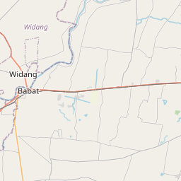
Distance from Babat to Kamal
Distance between Babat and Kamal is 62 kilometers (38 miles).
Driving distance from Babat to Kamal is 102 kilometers (63 miles).
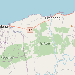
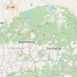
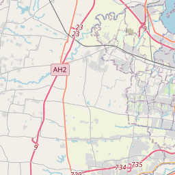
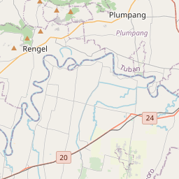
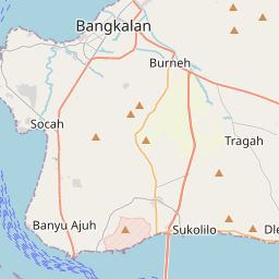
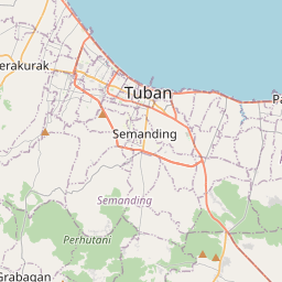
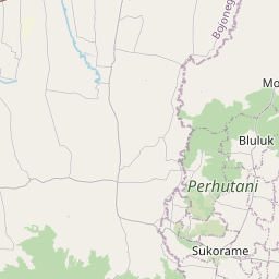
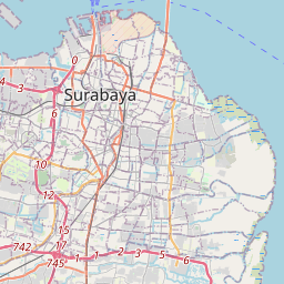
Distance Map Between Babat and Kamal
Babat, Surabaya, Indonesia ↔ Kamal, Surabaya, Indonesia = 38 miles = 62 km.


How far is it between Babat and Kamal
Babat is located in Indonesia with (-7.1128,112.1635) coordinates and Kamal is located in Indonesia with (-7.1678,112.7192) coordinates. The calculated flying distance from Babat to Kamal is equal to 38 miles which is equal to 62 km.
If you want to go by car, the driving distance between Babat and Kamal is 101.65 km. If you ride your car with an average speed of 112 kilometers/hour (70 miles/h), travel time will be 00 hours 54 minutes. Please check the avg. speed travel time table on the right for various options.
Difference between fly and go by a car is 40 km.
| City/Place | Latitude and Longitude | GPS Coordinates |
|---|---|---|
| Babat | -7.1128, 112.1635 | 7° 6´ 46.1520'' S 112° 9´ 48.7440'' E |
| Kamal | -7.1678, 112.7192 | 7° 10´ 4.0080'' S 112° 43´ 9.0120'' E |
Estimated Travel Time Between Babat and Kamal
| Average Speed | Travel Time |
|---|---|
| 30 mph (48 km/h) | 02 hours 07 minutes |
| 40 mph (64 km/h) | 01 hours 35 minutes |
| 50 mph (80 km/h) | 01 hours 16 minutes |
| 60 mph (97 km/h) | 01 hours 02 minutes |
| 70 mph (112 km/h) | 00 hours 54 minutes |
| 75 mph (120 km/h) | 00 hours 50 minutes |
Related Distances from Babat
| Cities | Distance |
|---|---|
| Babat to Bojonegoro | 37 km |
| Babat to Jombang | 54 km |
| Babat to Madiun | 137 km |
| Babat to Lamongan | 31 km |
| Babat to Gresik | 59 km |
Related Distances to Kamal
| Cities | Distance |
|---|---|
| Bangkalan to Kamal | 16 km |
| Batu to Kamal | 135 km |
| Balung to Kamal | 223 km |
| Jombang to Kamal | 115 km |
| Jember to Kamal | 231 km |