Distance from BABOR - VILLE to Sofia
Distance between BABOR - VILLE and Sofia is 1668 kilometers (1037 miles).
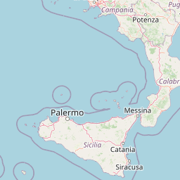
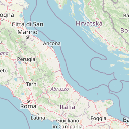
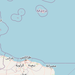
Distance Map Between BABOR - VILLE and Sofia
BABOR - VILLE, Setif, Algeria ↔ Sofia, Bulgaria = 1037 miles = 1668 km.


Leaflet | © OpenStreetMap
How far is it between BABOR - VILLE and Sofia
BABOR - VILLE is located in Algeria with (36.4899,5.5393) coordinates and Sofia is located in Bulgaria with (42.6975,23.3242) coordinates. The calculated flying distance from BABOR - VILLE to Sofia is equal to 1037 miles which is equal to 1668 km.
| City/Place | Latitude and Longitude | GPS Coordinates |
|---|---|---|
| BABOR - VILLE | 36.4899, 5.5393 | 36° 29´ 23.7840'' N 5° 32´ 21.4800'' E |
| Sofia | 42.6975, 23.3242 | 42° 41´ 51.0360'' N 23° 19´ 26.9400'' E |
BABOR - VILLE, Setif, Algeria
Related Distances from BABOR - VILLE
| Cities | Distance |
|---|---|
| Babor Ville to Ain Arnat | 55 km |
| Babor Ville to Bougaa | 88 km |
| Babor Ville to El Eulma | 57 km |
| Babor Ville to Salah Bey | 94 km |
Sofia, Bulgaria
Related Distances to Sofia
| Cities | Distance |
|---|---|
| Drean to Sofia | 2010 km |
| Bejaia to Sofia | 2359 km |
| M Sila to Sofia | 2382 km |
| Ain El Melh to Sofia | 2414 km |
| Boghni to Sofia | 2446 km |
| Tizi Gheniff to Sofia | 2475 km |
| Seddouk to Sofia | 2389 km |
| Constantine to Sofia | 2141 km |
| Heliopolis to Sofia | 2056 km |
| Beni Douala to Sofia | 2471 km |