Distance from Bad Salzuflen to Nottuln
Distance between Bad Salzuflen and Nottuln is 97 kilometers (60 miles).
Driving distance from Bad Salzuflen to Nottuln is 154 kilometers (95 miles).
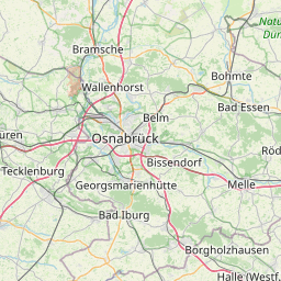
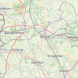
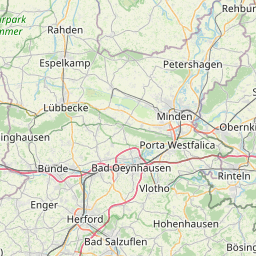
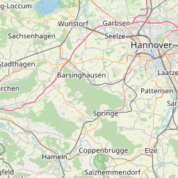
Distance Map Between Bad Salzuflen and Nottuln
Bad Salzuflen, Dusseldorf, Germany ↔ Nottuln, Dusseldorf, Germany = 60 miles = 97 km.


How far is it between Bad Salzuflen and Nottuln
Bad Salzuflen is located in Germany with (52.0862,8.7443) coordinates and Nottuln is located in Germany with (51.9333,7.35) coordinates. The calculated flying distance from Bad Salzuflen to Nottuln is equal to 60 miles which is equal to 97 km.
If you want to go by car, the driving distance between Bad Salzuflen and Nottuln is 153.69 km. If you ride your car with an average speed of 112 kilometers/hour (70 miles/h), travel time will be 01 hours 22 minutes. Please check the avg. speed travel time table on the right for various options.
Difference between fly and go by a car is 57 km.
| City/Place | Latitude and Longitude | GPS Coordinates |
|---|---|---|
| Bad Salzuflen | 52.0862, 8.7443 | 52° 5´ 10.3200'' N 8° 44´ 39.6240'' E |
| Nottuln | 51.9333, 7.35 | 51° 55´ 59.9880'' N 7° 20´ 60.0000'' E |
Estimated Travel Time Between Bad Salzuflen and Nottuln
| Average Speed | Travel Time |
|---|---|
| 30 mph (48 km/h) | 03 hours 12 minutes |
| 40 mph (64 km/h) | 02 hours 24 minutes |
| 50 mph (80 km/h) | 01 hours 55 minutes |
| 60 mph (97 km/h) | 01 hours 35 minutes |
| 70 mph (112 km/h) | 01 hours 22 minutes |
| 75 mph (120 km/h) | 01 hours 16 minutes |
Related Distances from Bad Salzuflen
| Cities | Distance |
|---|---|
| Bad Salzuflen to Meckenheim | 244 km |
| Bad Salzuflen to Bielefeld | 21 km |
| Bad Salzuflen to Essen | 162 km |
| Bad Salzuflen to Dortmund | 124 km |
| Bad Salzuflen to Herford | 6 km |
Related Distances to Nottuln
| Cities | Distance |
|---|---|
| Hagen to Nottuln | 90 km |
| Muenster to Nottuln | 24 km |
| Bad Salzuflen to Nottuln | 154 km |
| Neuss to Nottuln | 128 km |
| Bielefeld to Nottuln | 143 km |